Visiting Gaza
16. May 2010 - 26. May 2010A report by Peter Voss, part 4
Mouse click to enlarge photos, Alt + 'left arrow' to return
|
Day by day account
Wednesday, May 19, 2010 The report on this day is very short. Right after I had had breakfast I realized that there was something wrong with my stomach. I had an appointment in the morning with Abeer Qita, a Humanitarian Affairs Associate at the Office for the Coordination of Humanitarian Affairs (OCHA). That was in walking distance, and I did not want to miss it. Abeer Qita gave me a Powerpoint representation on the general situation in Gaza. We had to interrupt several times, because I had started to vomit. Some of the things she told me were new to me. I did not know how dangerous the generators are, that are used when the electricity fails. They are often cheap imports. They explode or start burning. In April 2010 alone 27 people died due to generator accidents. I took along an OCHA Special Focus report "Locked in: the Humanitarian Impact of two Years of Blockade on the Gaza Strip" from August 2009 which contains a review of the situation in Gaza in 28 pages Before I went to Gaza I had read that there was an investigation on the food situation there which came to the conclusion that the population in the rural areas is in a worse condition than the people in the refugee camps. I tried to get the link to this report also when I visited UNRWA headquarters, but unfortunately so far I have not found it. I felt pretty bad, walked back slowly to the hotel, went to bed and did not get up until the next morning. Thursday, May 20, 2010 After the long sleep I felt better. For breakfast I ate only some bread and a banana. Bananas became my main staple for the next days. I felt that the breakfast in the hotel may have been the cause of my problem and I did not feel very comfortable in the place for several reasons while I was sick, so I decided to move to the Beach Hotel next door. The hotel had a nice restaurant (Orient House) with a terrace towards the beach. I always sat outside. 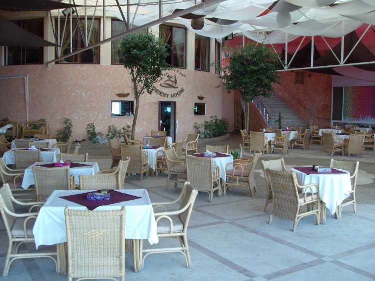 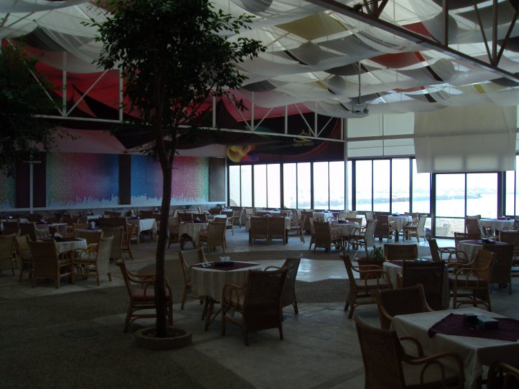 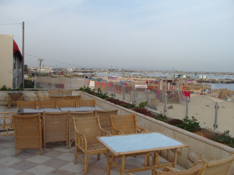 This morning I tried to get in contact with Rebhy A. El Sheikh, the deputy chairman of the Palestian Water Authority. It turned out that I was given the wrong telephone number for him. So I went back the branch office near Al-Wehda Street and this time I got the right one. Rebhy A. El Sheikh was willing to receive me right away. His office happened to be right across from the Health Ministry. I recorded a 19 minute long interview with him (part 1, part 2). In preparation for the Gaza Freedom March and with the help of Clemens Messerschmid, a German who has worked with the Palestinian Water Authority for many years , I had become aware of some of the problems with the water system in the Gaza strip. A new report (April 2010) was published by UNICEF "Water, Sanitation and Hygiene Household Survey Gaza". My first experience with the tap water in the hotel was quite shocking: the water tasted very salty. When I washed my hair with it, I had quite some difficulty to comb it after it had dried, just as if I had used too much hair spray. Mr. El Sheikh had mentioned the problems with the waste water that often just sinks into the ground or is piped into the sea. I decided to have a look at the problem whenever there was an occasion. This day I wanted to get as far 'south' as Rafah. I took a short video shot of Al-Wehda Street and then waved for the the next car coming along. It was not the best pick I had during these days. A fairly old car with a hard suspension and a rather unpolished driver. The first surprise was that I was not the only passenger, but the people in the back got out soon. There was quite a bit of traffic in Al-Wehda Street. 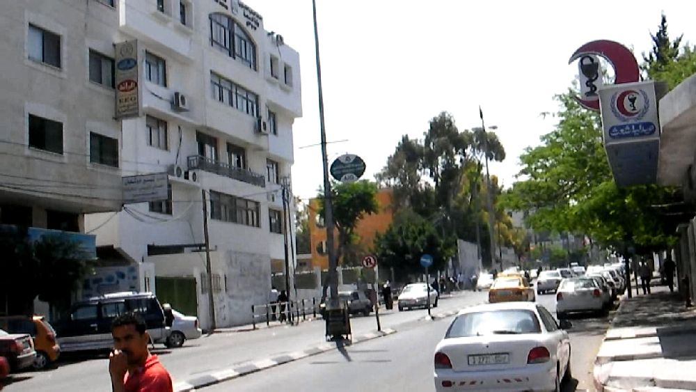 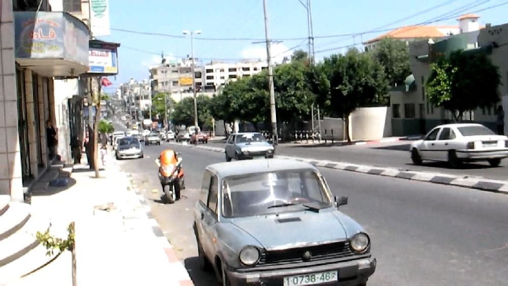 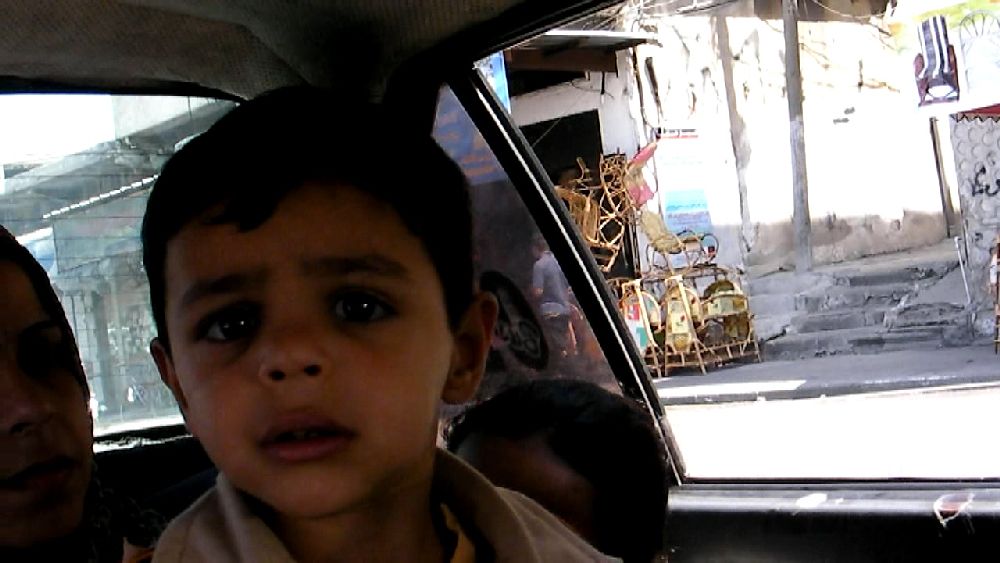 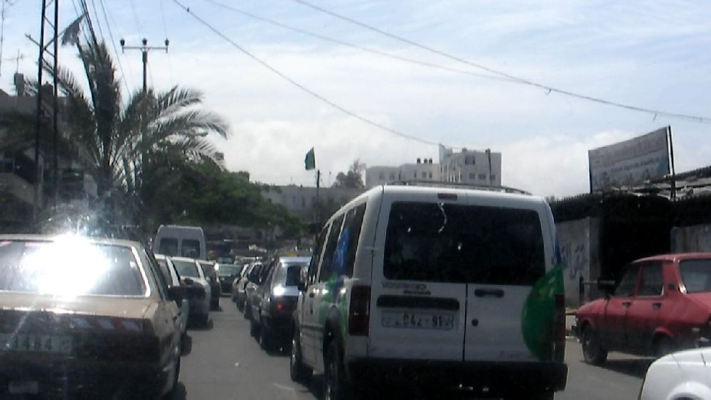 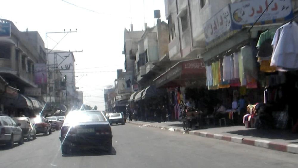 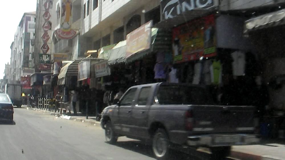 Al-Wehda Street: The first photo shows the Ministry of Health  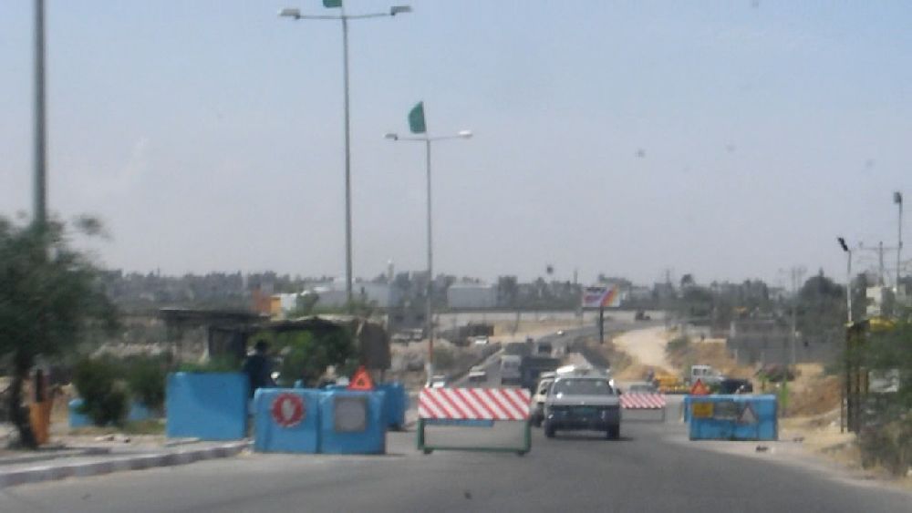 Salah Al-Deen, the main thoroughfare, shortly before Wadi Gaza    Cooky factory and mosque near Deir Al Balah (see article about this cooky factory in the Guardian of June 25, 2010)    Khan Yunis 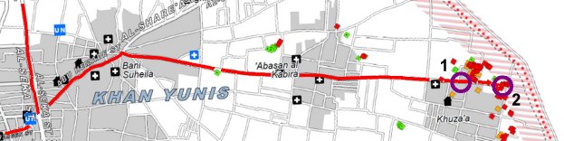 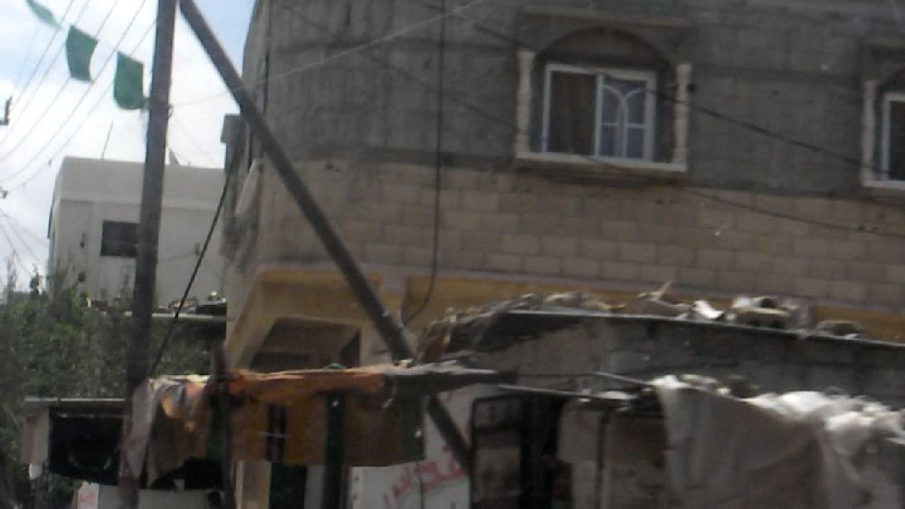  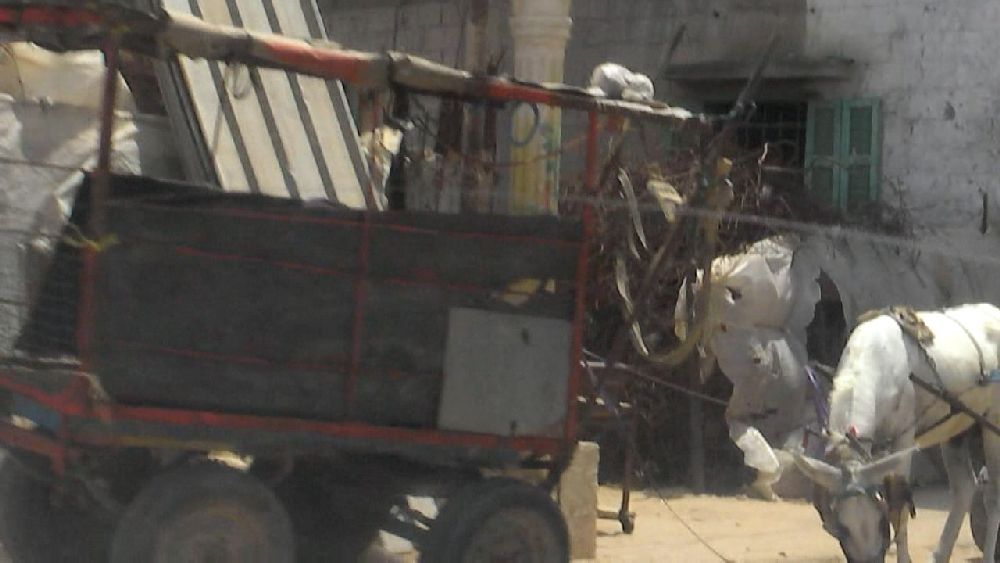 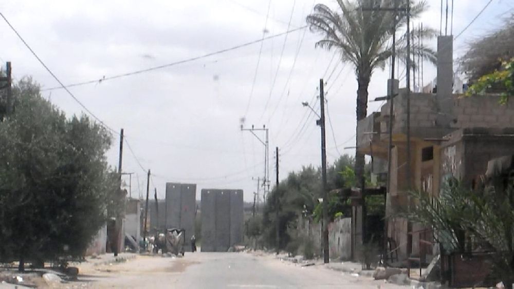 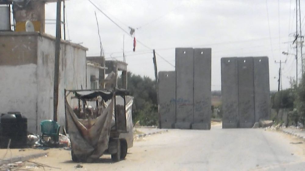 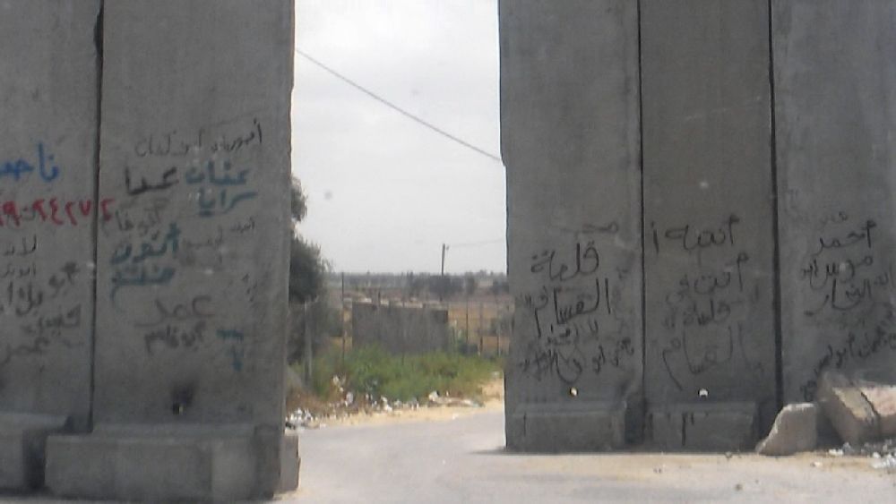 (1): Khuza'a 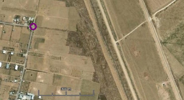 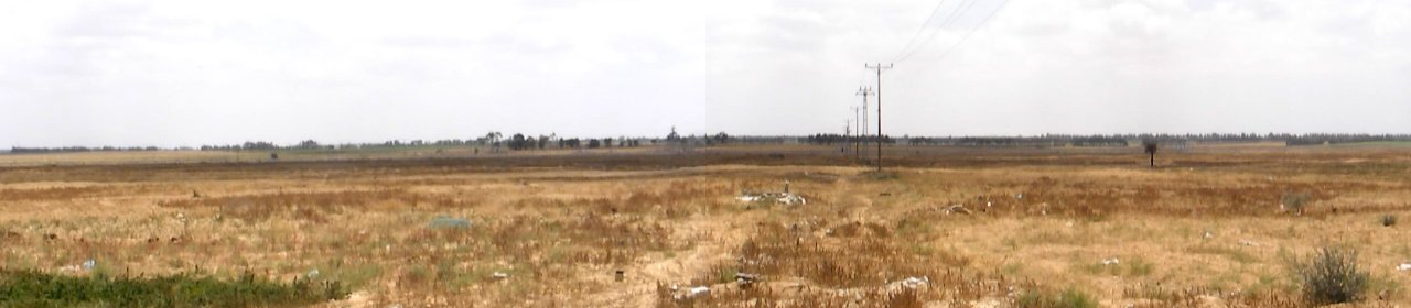  (2) The fence. Upper panorama with normal magnification (zoom 2) Lower panorama 5 times enlarged (zoom 10); the panorama is patched together from 15 photos. This looks like the border between two states. However, it is actually a prison fence. The guards are little dots at the horizon. Their only means of communication is with the gun, in case anybody gets the idea to come any closer than 300 m, which is just about the distance from which these photos were taken. See also UN report of Aug. 19, 2010. 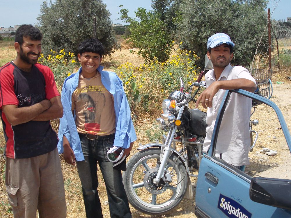  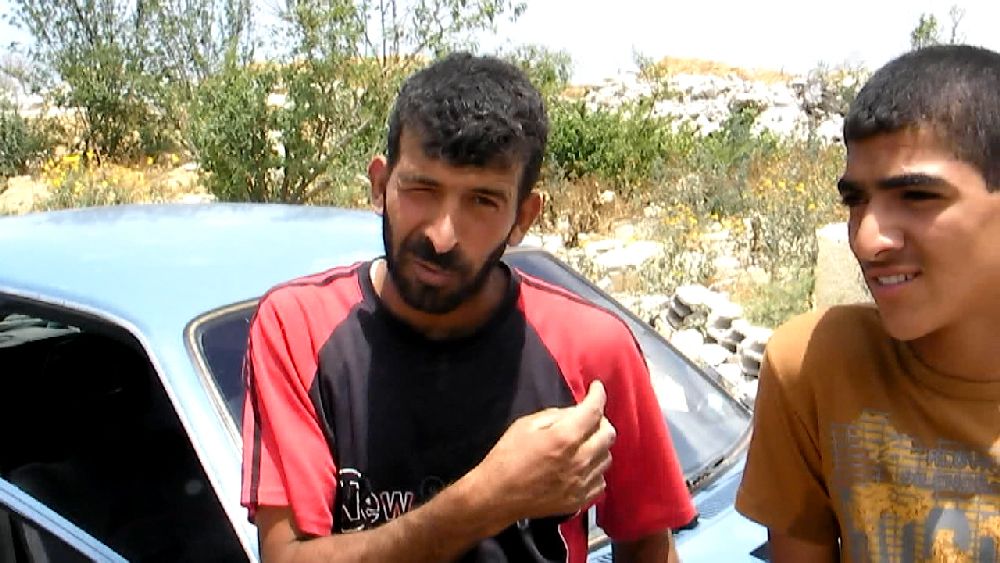 Some friendly people turned up. One of them was eager to tell me something. I did not understand anything and nobody could translate, but I recorded it. The short statement was :"We own a piece of land at the border. The Jews took it away from us. They do what they want and they listen to nobody." (Video, 10 MB mpg) 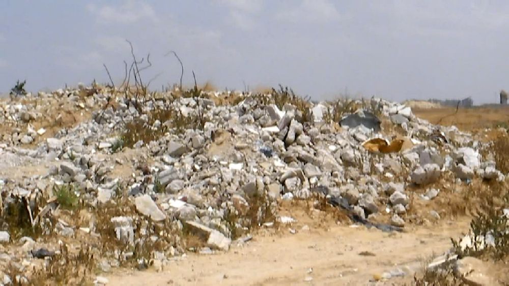 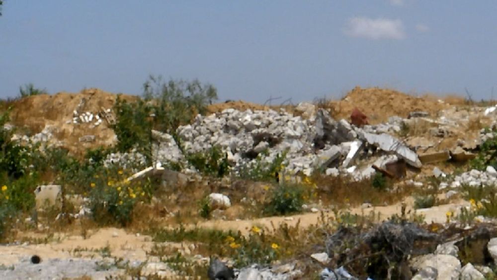 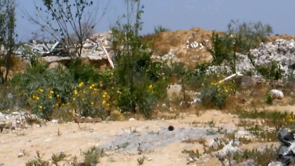 On all sides rubble still remaining. 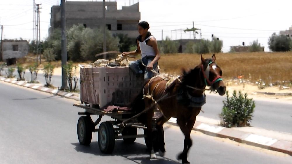  There must be some use for the rubble (see AP, Aug. 16, 2010). I saw such transports quite often. 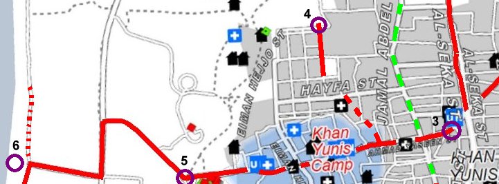 We went back and crossed over into the center section of Khan Yunis. 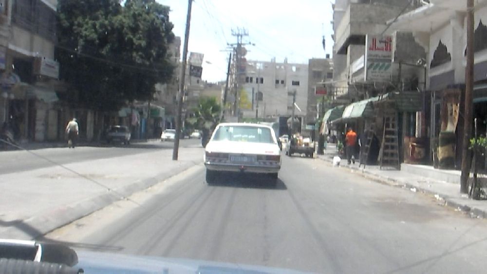 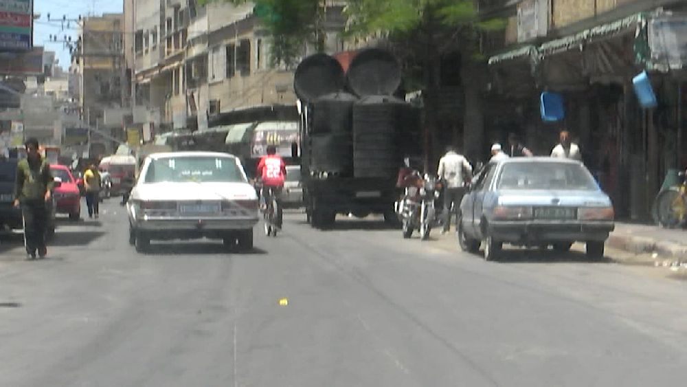 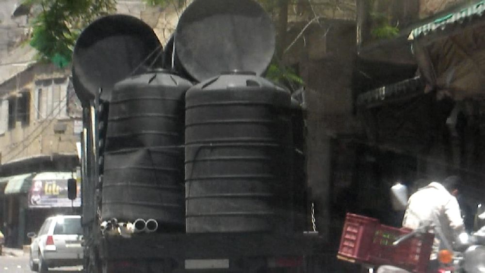  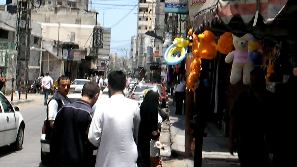 Impressions
of Khan Yunis, a truck with water tanks. Impressions
of Khan Yunis, a truck with water tanks.Rebhy A. El Sheikh had mentioned a waste water basin that was originally only meant as a retention basin for rain water, but had become uncontrolled. We turned around many corners. On one occasion we could not get across an intersection and had to drive a loop past several intersections (I learned later that making roads impassable like that was one of the sports of the Israeli occupation forces during the 2008/2009 maneuvers, though this may just have been some normal (unfinished) road work)). I was proud that we came out exactly were I wanted to be. 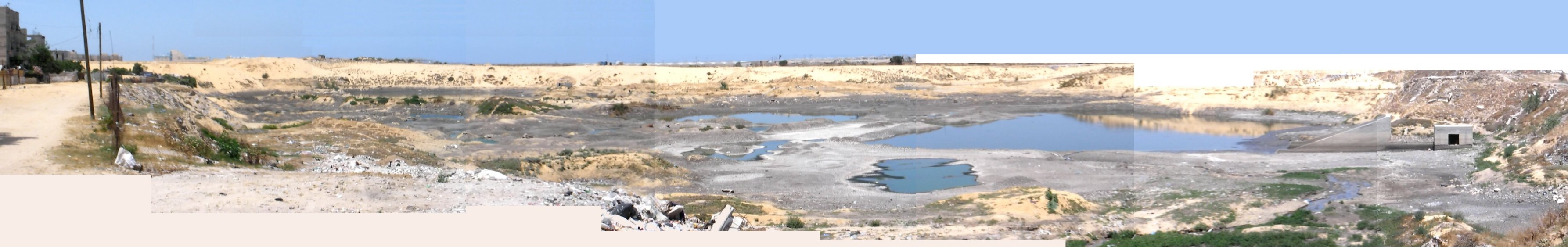 (4): the waste water basin. Just from the smell it was easy to tell that this was not rainwater. The basin is located right next to normal city houses. It was not so difficult to find the way back to the main cross road going 'west'. Up until six years ago the city ended right at a checkpoint at the border of an Israeli settlement (5). The area has pretty much desert character and as we went on further down to the shore we even saw some camels. 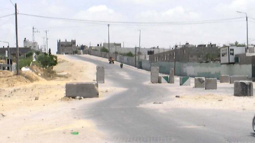 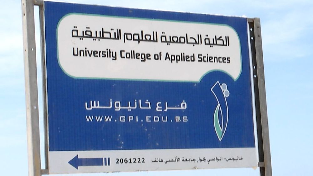 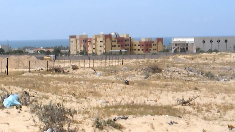 (5) Views: 'east' towards Khan Yunis;'south-west', University College of Applied Sciences 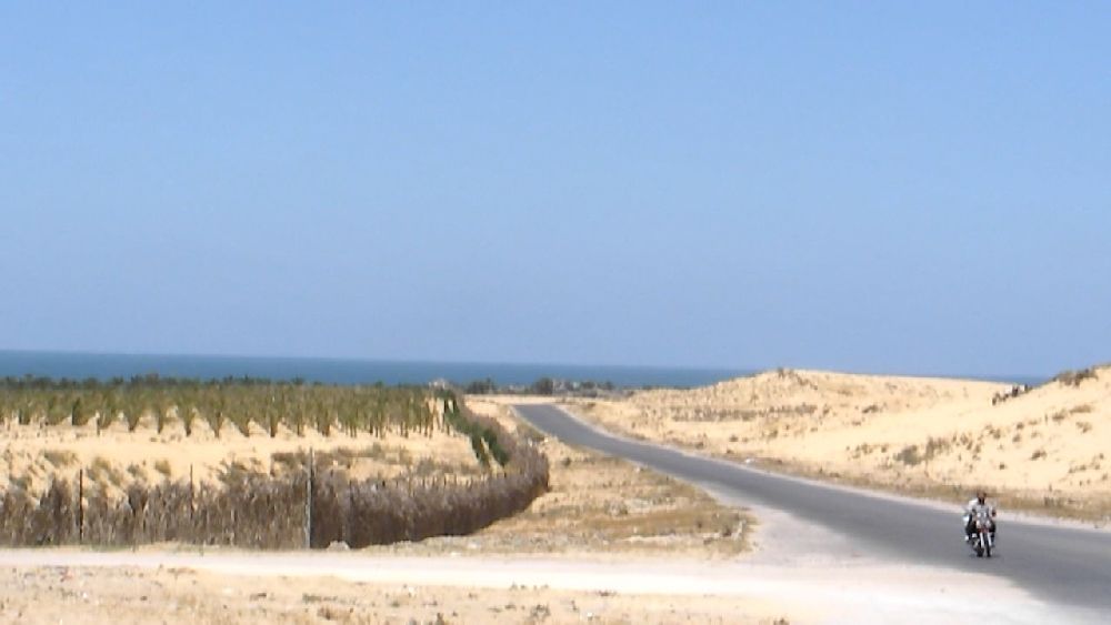 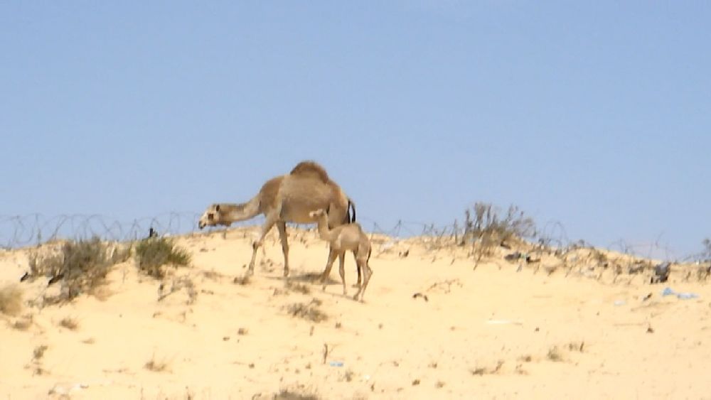     (6) 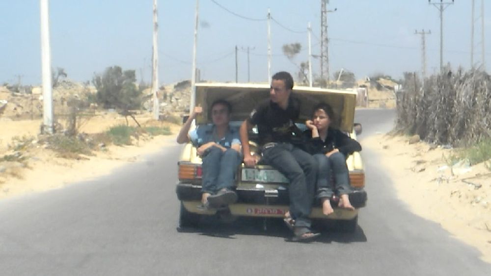 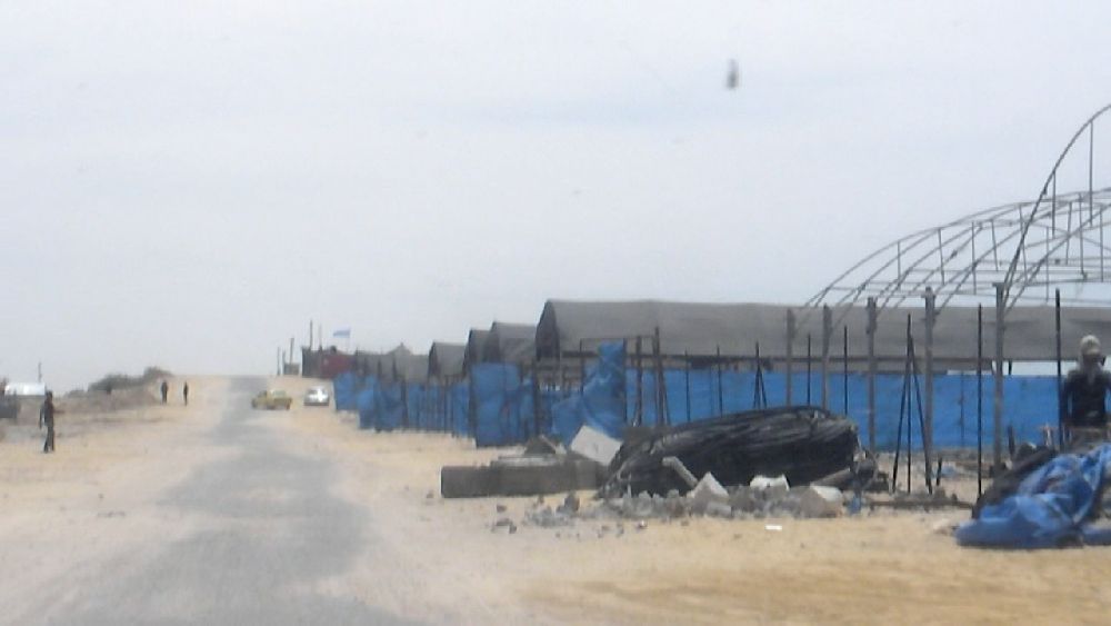 Casual transport; UN summer camp at the beach. Rebhy A. El Sheikh had mentioned that there is a waste water spill into the sea in this area. We wasted some time driving up and down the coastal road, but there was no indication for any of that. We continued further south. I had intended to go away from the coast again in order to have a look at the huge area of the former settlements. But when we turned off we were already pretty much at the southern end. Thus we had only a view of one of the smaller sections of the former settlements. 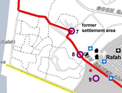 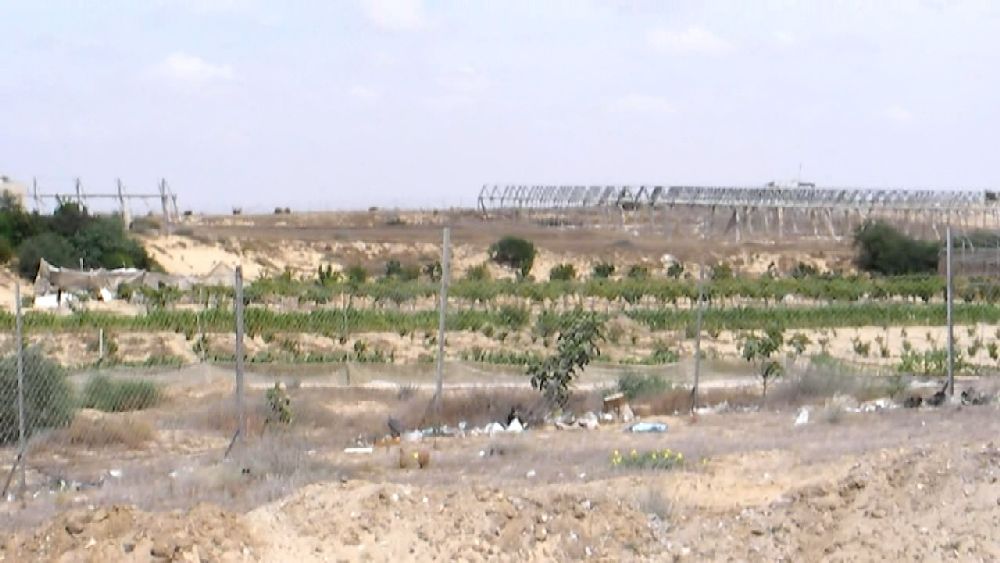 (7) view 'east' 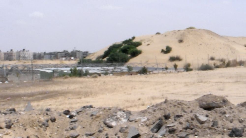 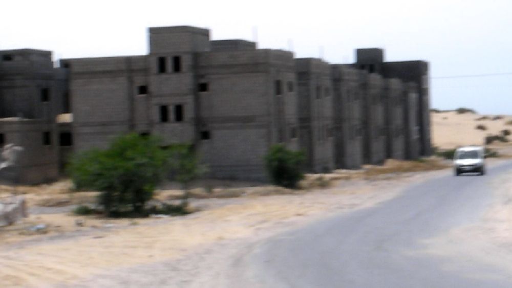 (7) view 'south east', Rafah in the background; Unfinished houses, they are already visible on the satellite map of 2007. We continued on a broad unfinished road towards Rafah. At location 8 there were two signs indicating that there was some waste water treatment plant nearby. I filmed the view of the area. One complex seemed to consist only of high walls of somewhat familiar shape. I did not have much time to think about what I was filming, because I was quickly surrounded by friendly men in black who tried to figure out what I was doing. They asked me to come along to their little block house where they had a tent roof and some chairs. A person not in black explained to me that I had just filmed a military installation. Fortunately I could reach Dr. Yussef right away, and he must have given the men in black a satisfactory answer because we were given a friendly 'Goodbye'. The man in civilian clothes came along, because he wanted to show me the actual site of the wastewater plant which was a stretch further down the road. 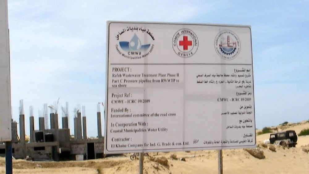 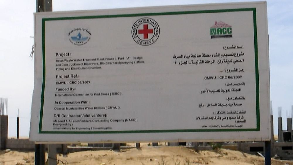 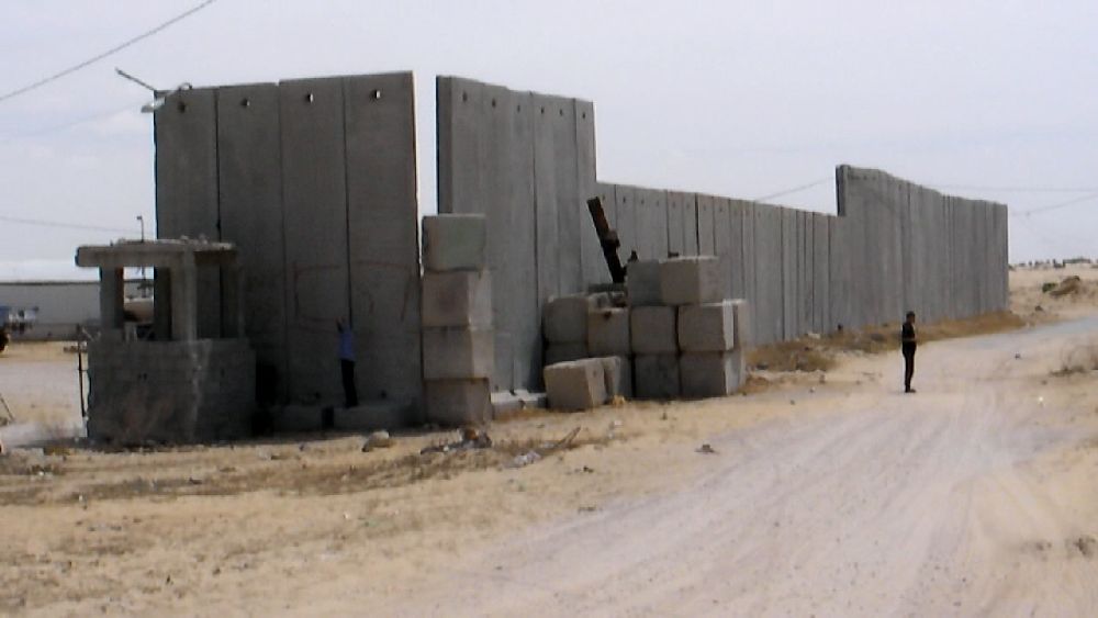 (8) The signs may be for an extension of the existing wastewater treatment plant which can handle only about half of what is needed. 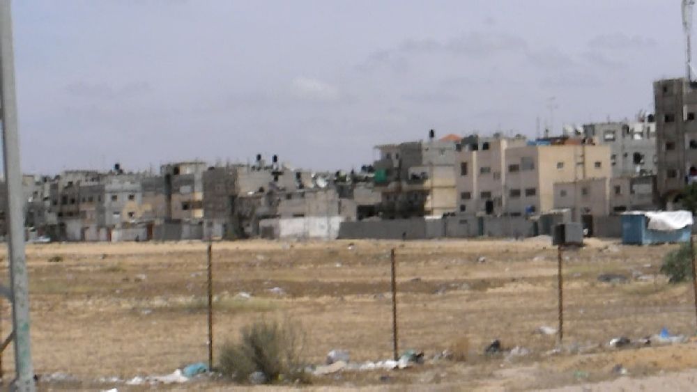 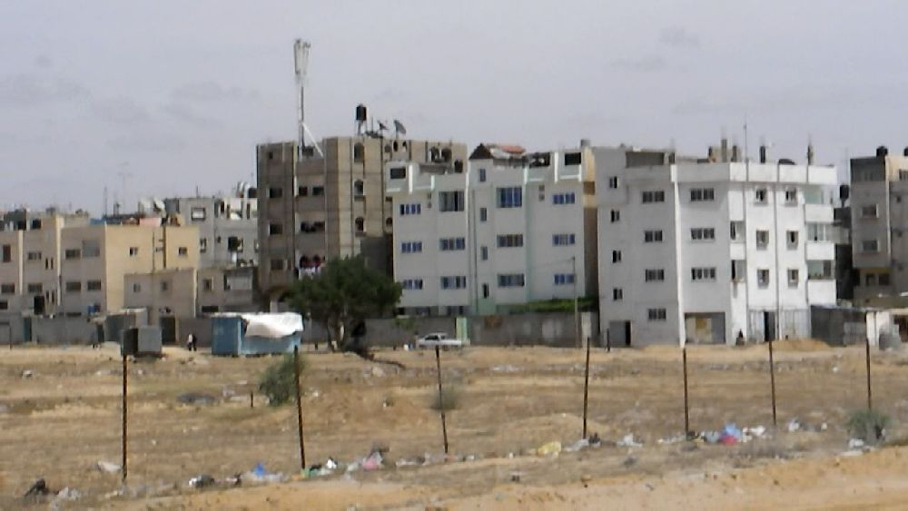 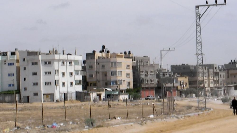 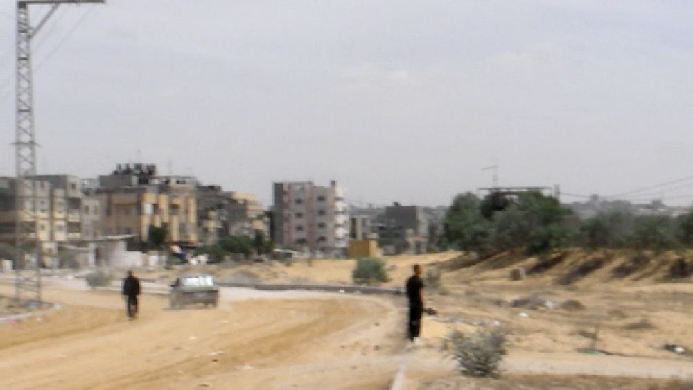 Rafah  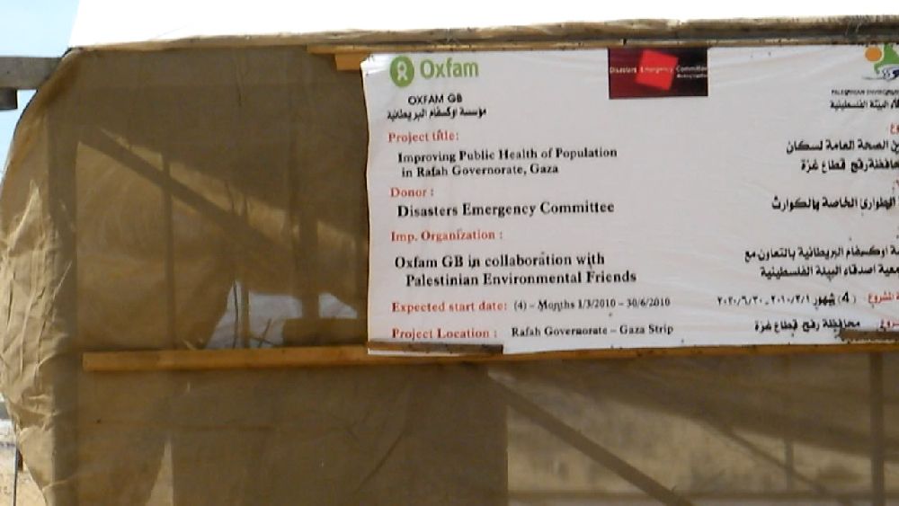 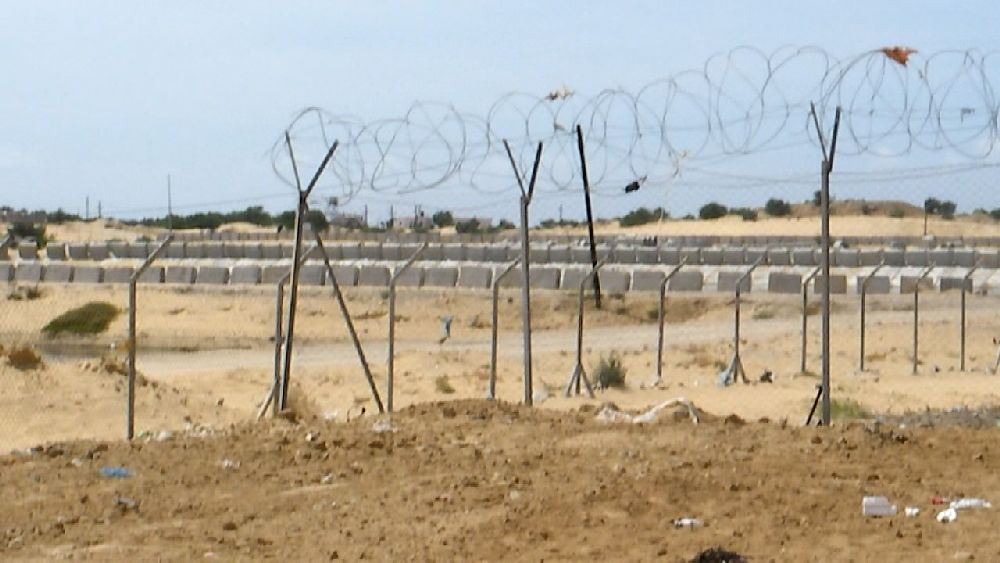 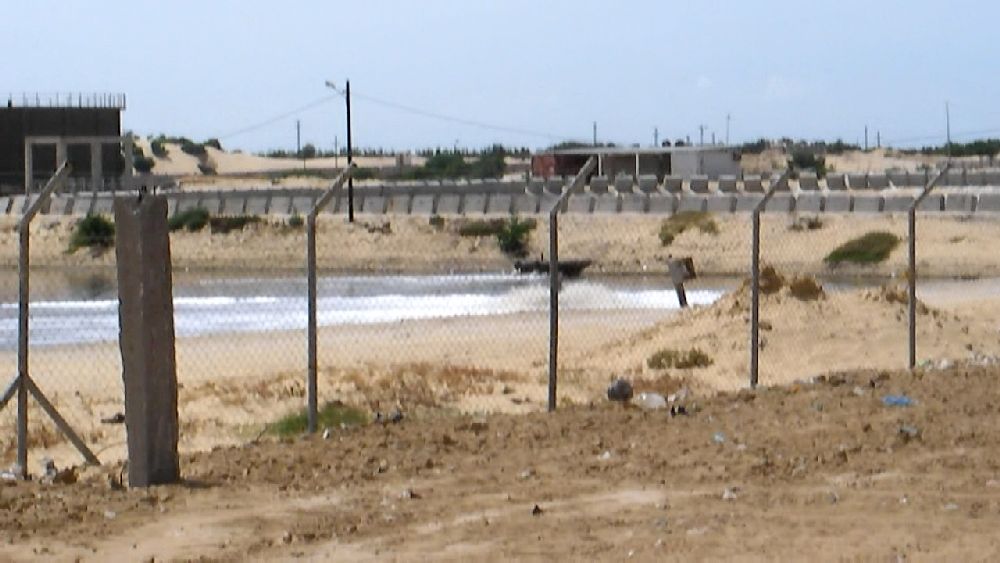 (9) the waste water treatment plant We climbed up a hill which was obviously a former garbage dump and is apparently still used like that to some extent. Through a fence I had a look at the treatment plant which - as I was told - was erected by the Israelis. From the elevated location on the garbage dump I had a nice view of the surroundings. As usual I took a video shot. Also as usual up to this time I moved the camera much too fast. But at least I had the idea to take a few still photos with the camera. Usually when I came home in the evening I took the time to copy the videos and the photos to the laptop, but often I did not have or did not take the time to look at everything. This time, though, I realized that this particular video clip was not worth much. Hence I went back the next day and repeated the video shot - which was not all that much better - but also took photos with the second camera. From the photos of that camera I patched together the following five panorama views which have some overlap. 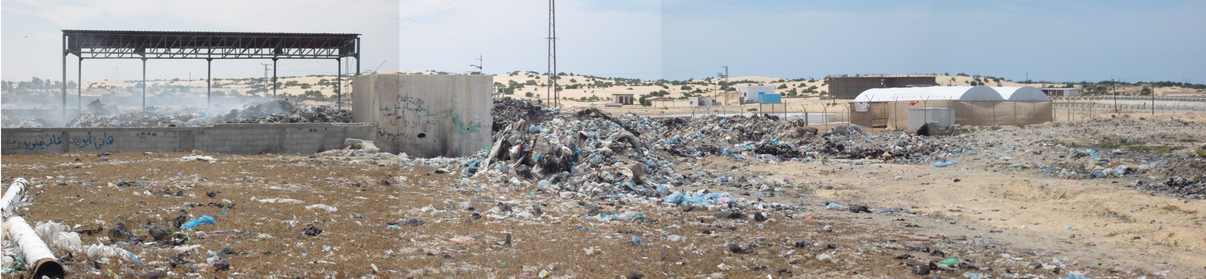 view 'south-west' on waste water treatment plant. 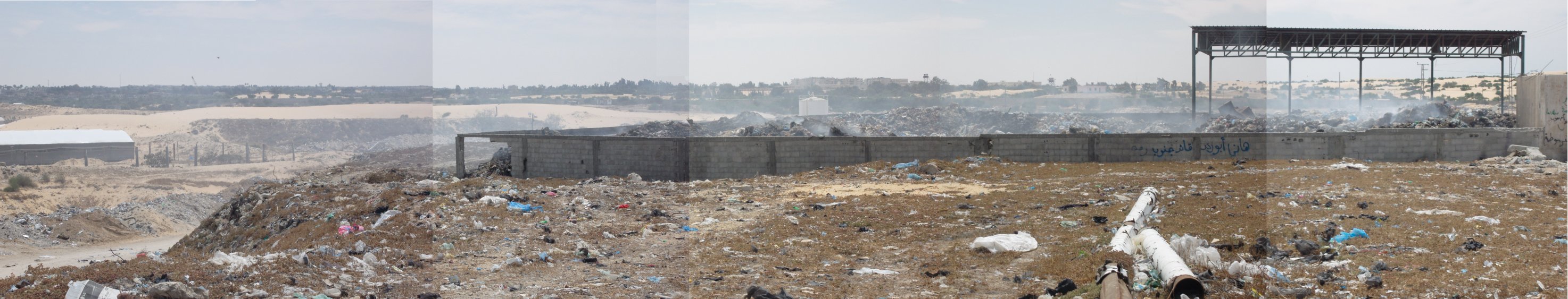 view 'south', Egypt in the background 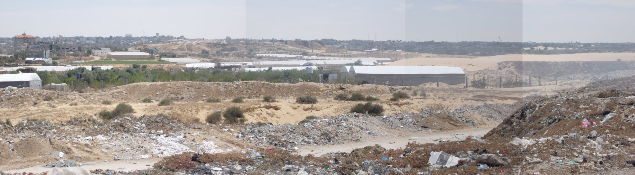 view 'south-east'. My guide claimed that all the greenhouse tents in the foreground were the cover of tunnel entrances. After inspecting the photos I think they are actually used as greenhouses. However, the tents in the background definitely belong to tunnels. The right side of the background of this photo belongs to Egypt.  view 'east', Rafah in the background. 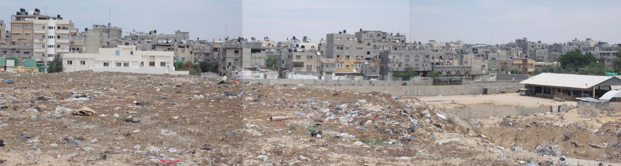 view 'north-east', the 'Tal as Sultan' section of Rafah 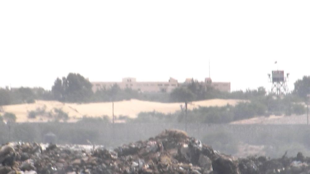 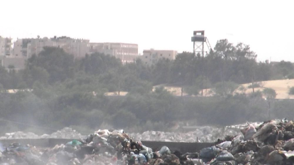 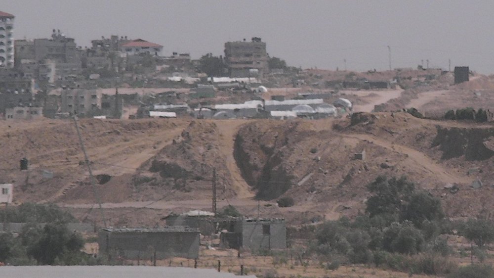
Watchtowers on the Egyptian side. The third photo is a detail corresponding to the third panorama. The white tent roofs belong to tunnels. The main group of tunnels is located behind the crest at the horizon. In the foreground a ramp is visible that probably also leads to a tunnel. 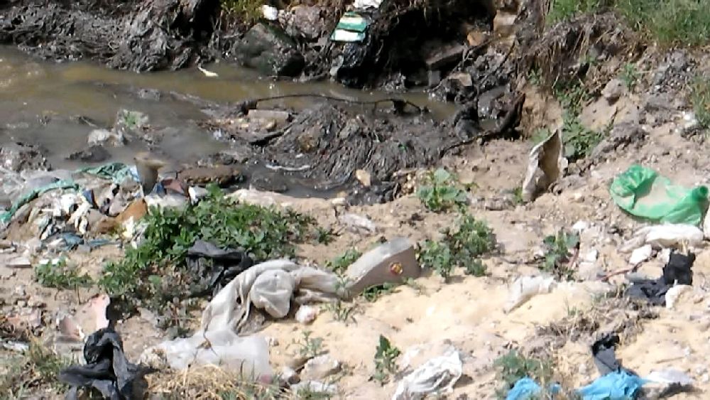  Sewage is pumped onto the dump. When I took these photos I had just missed the strong flow. The sewage apparently runs into the sea eventually. It was 3 p.m. and I was ready to go back to the hotel. We drove into the center of Rafah and then turned 'north'. The driver took a route through Khan Yunis, then went back on the main road (Salah Al-Deen). At Deir Al-Balah he went over to the coastal road. 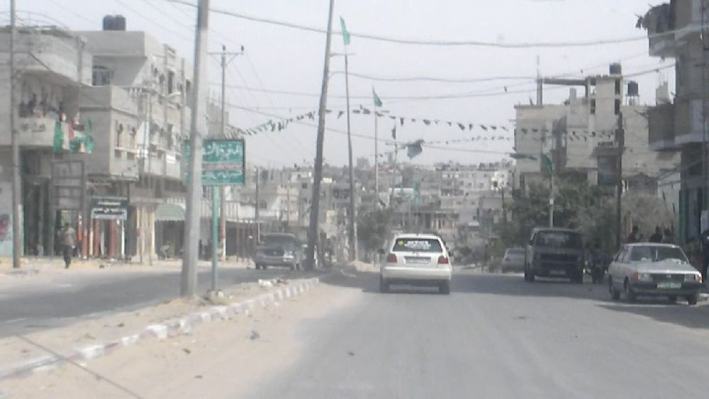  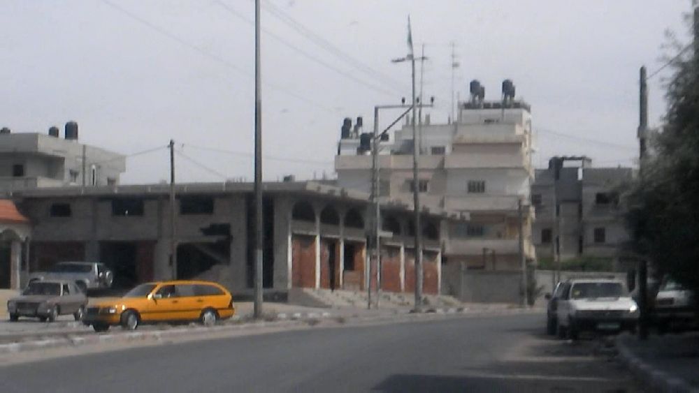 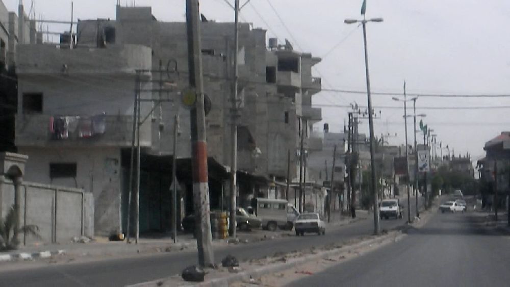 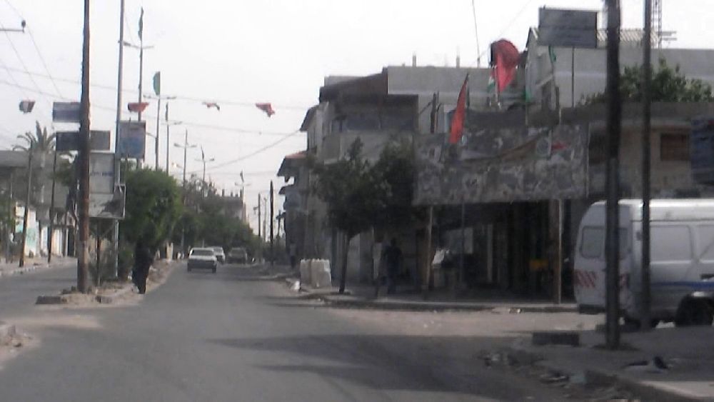 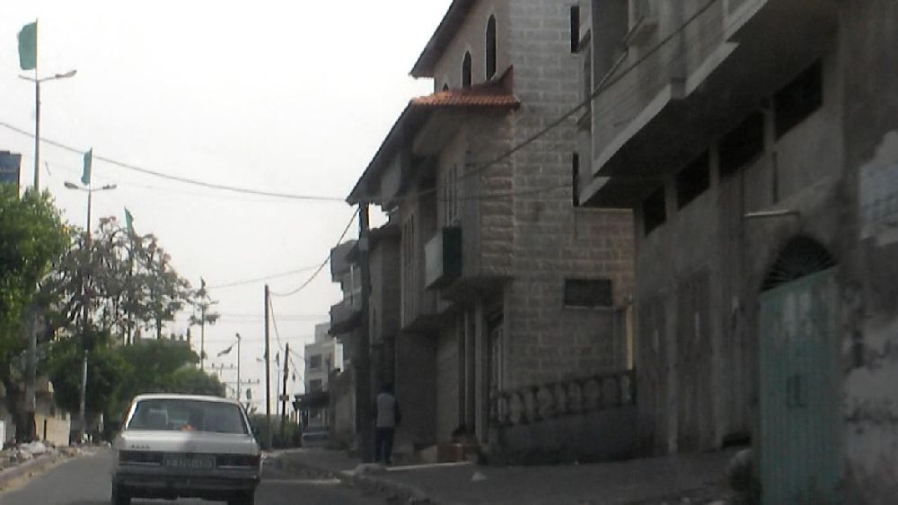 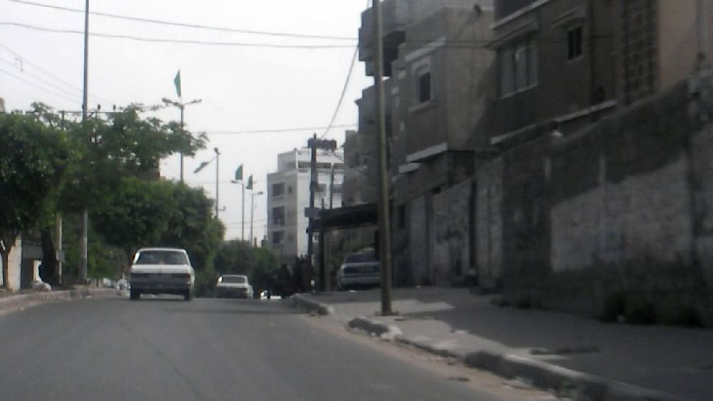 Images of Rafah    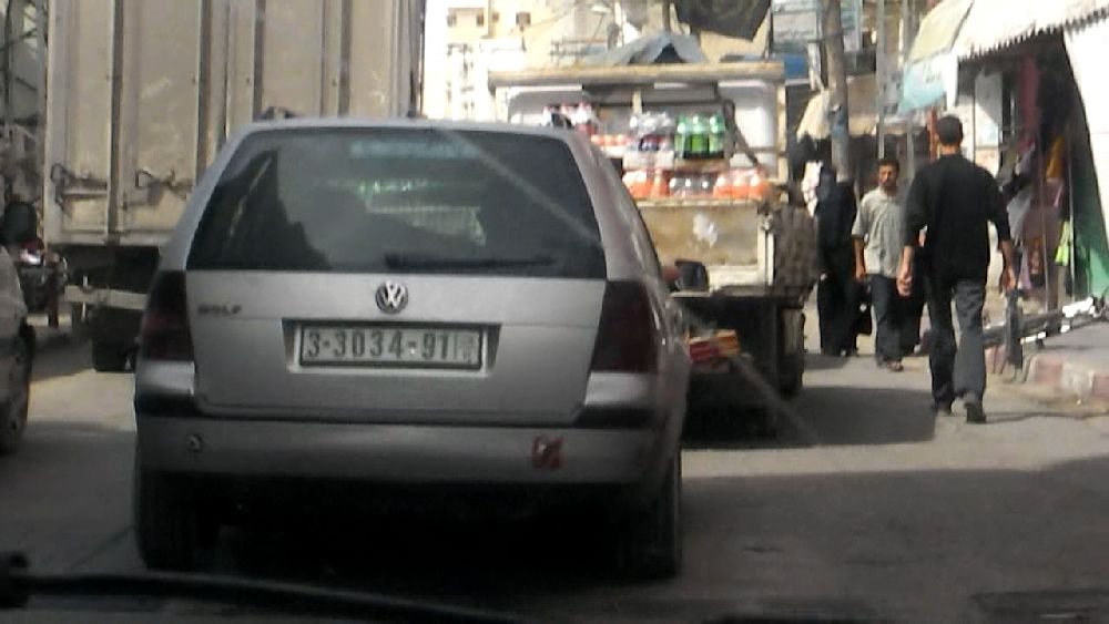 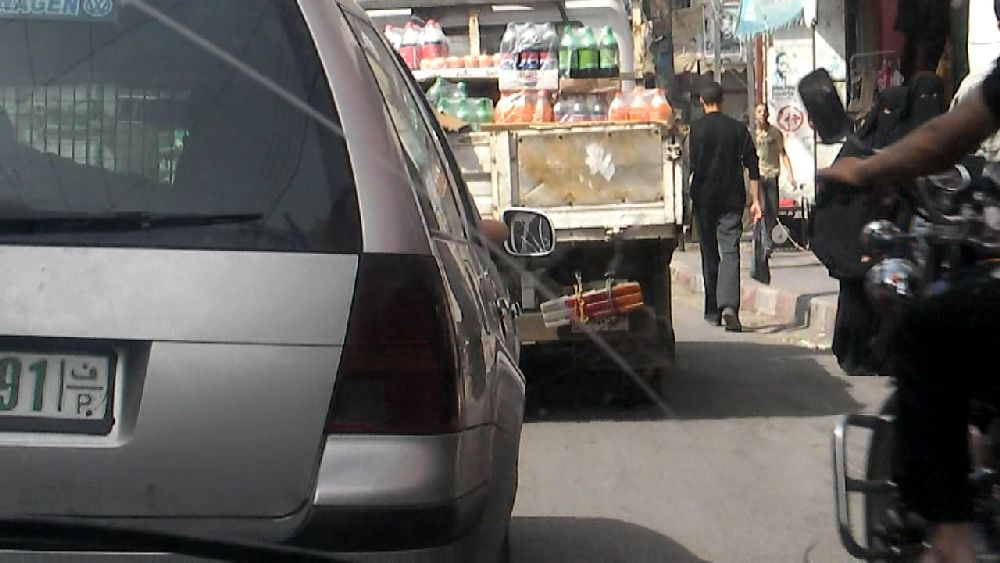 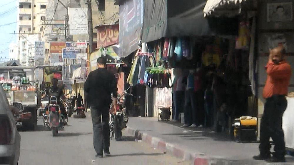 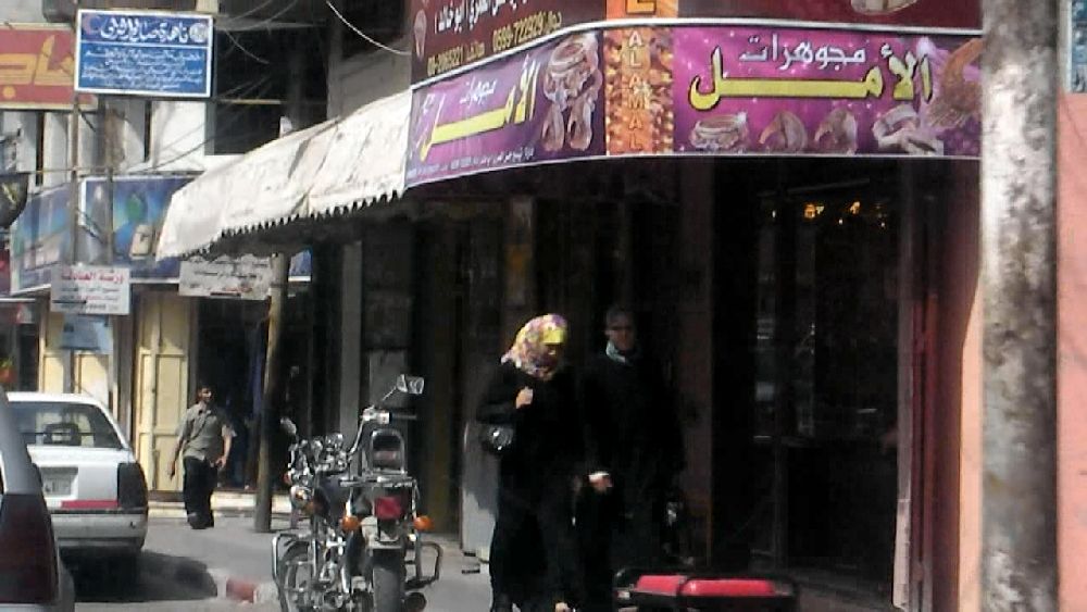 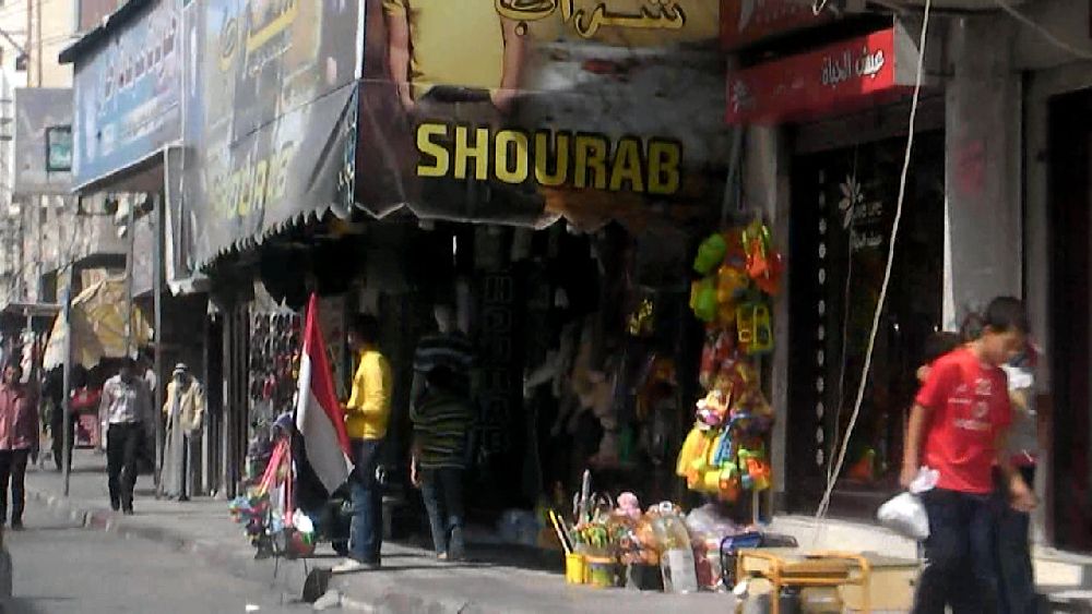  Driving through Khan Yunis in 'northern' direction Driving through Khan Yunis in 'northern' direction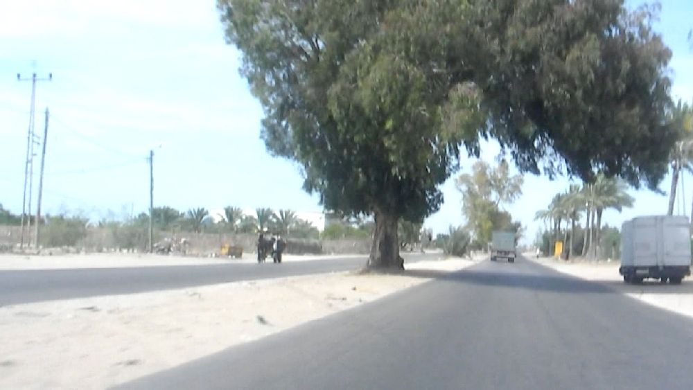 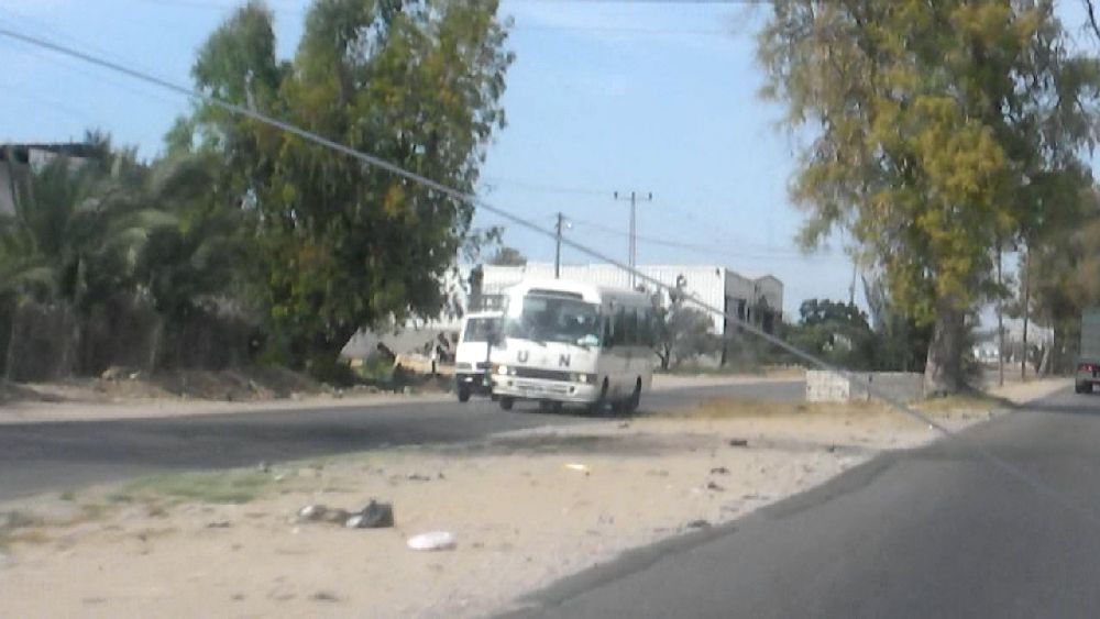 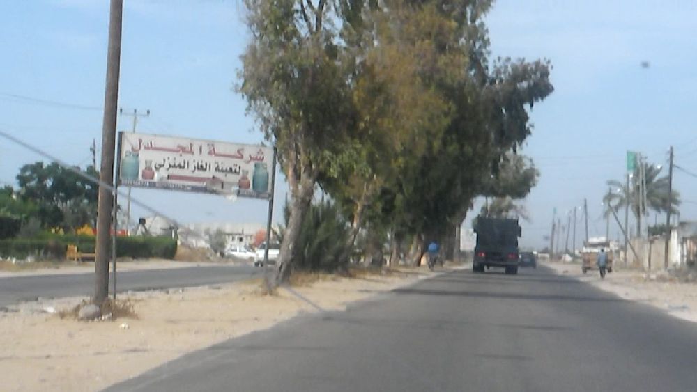 Salah Al-Deen 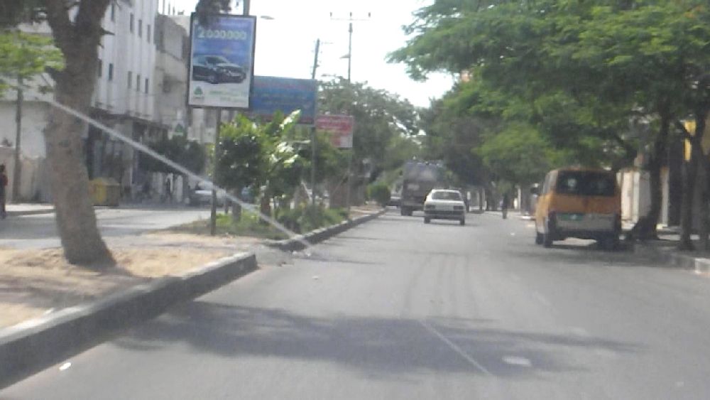  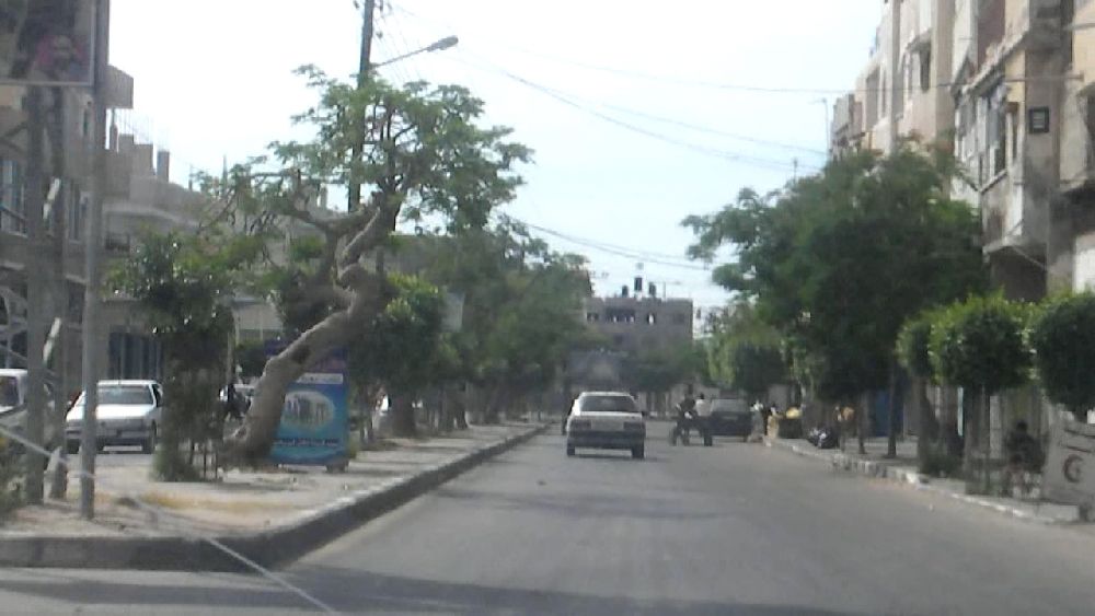  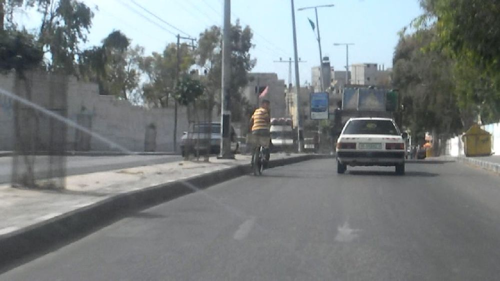 Driving through Deir Al-Balah towards the camp Driving through Deir Al-Balah towards the camp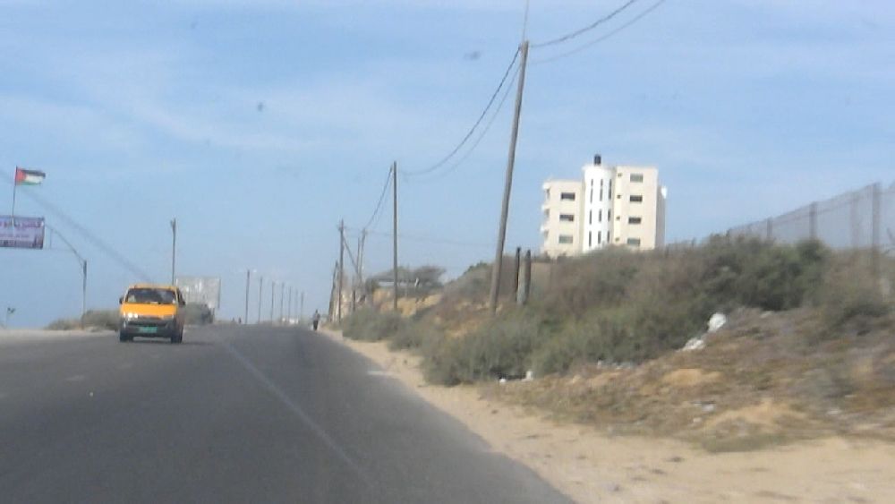   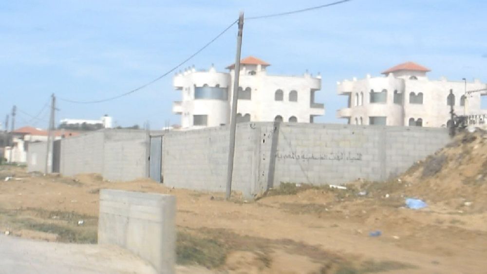 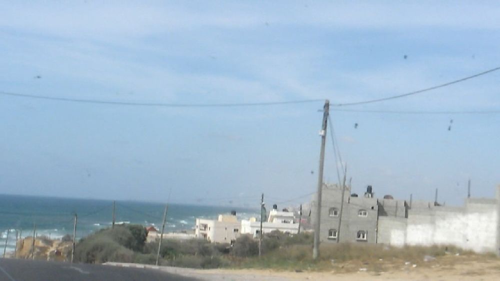 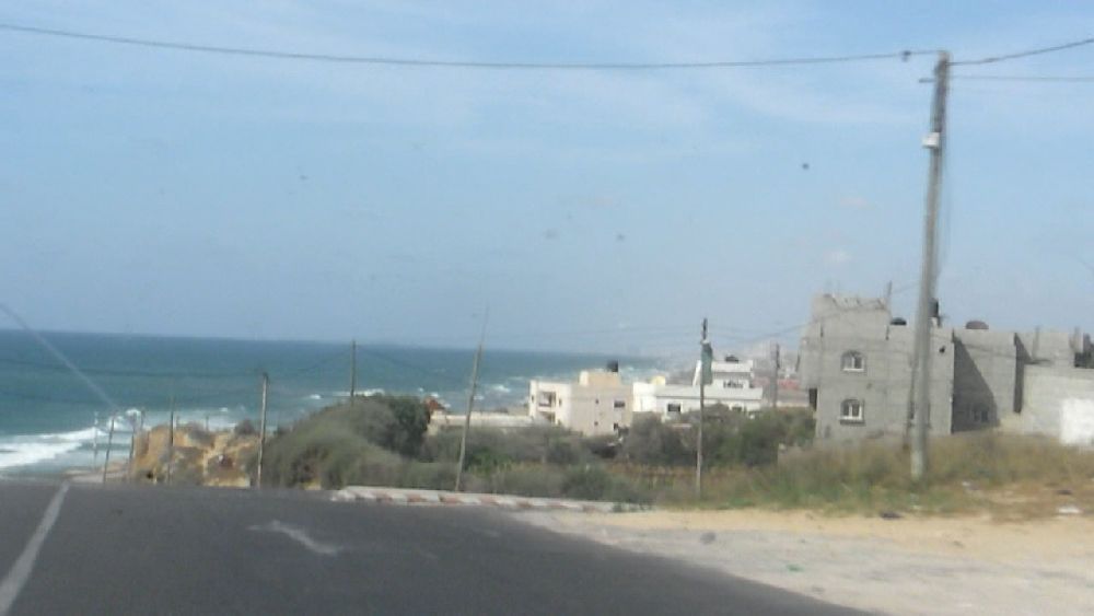 On the coastal road shortly before An Nuseirat camp 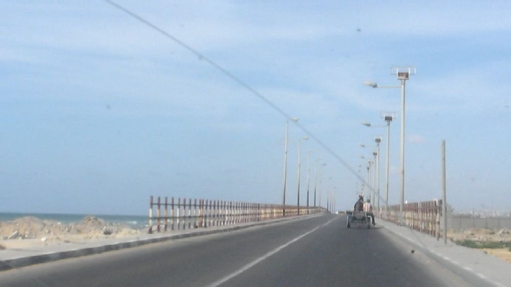 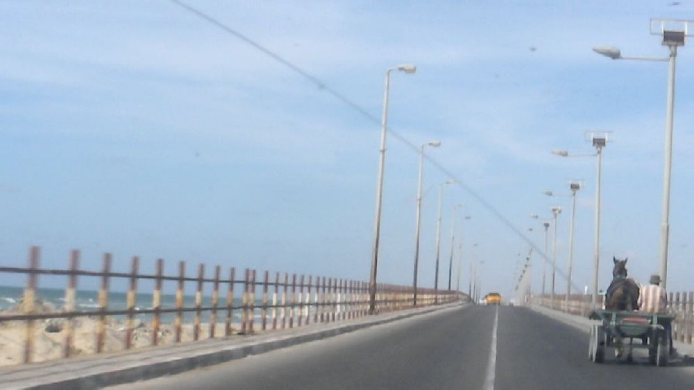 The coastal road bridge across Wadi Gaza behind An Nuseirat camp 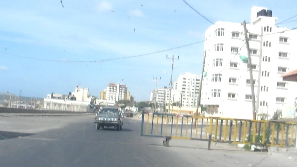 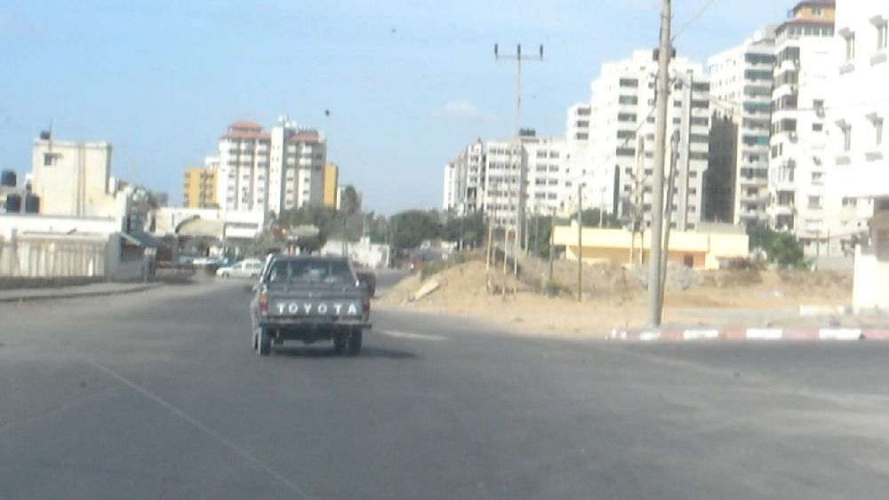 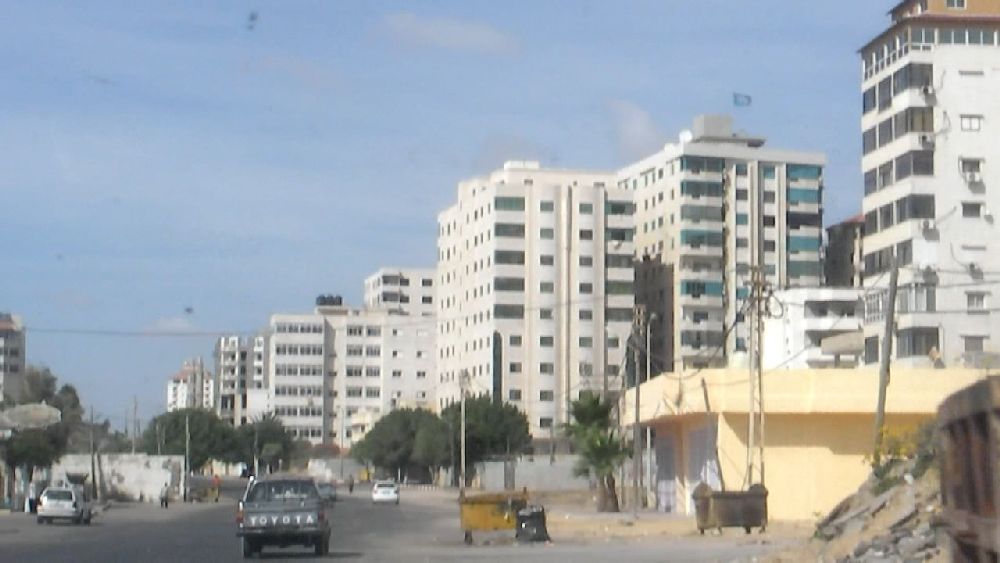 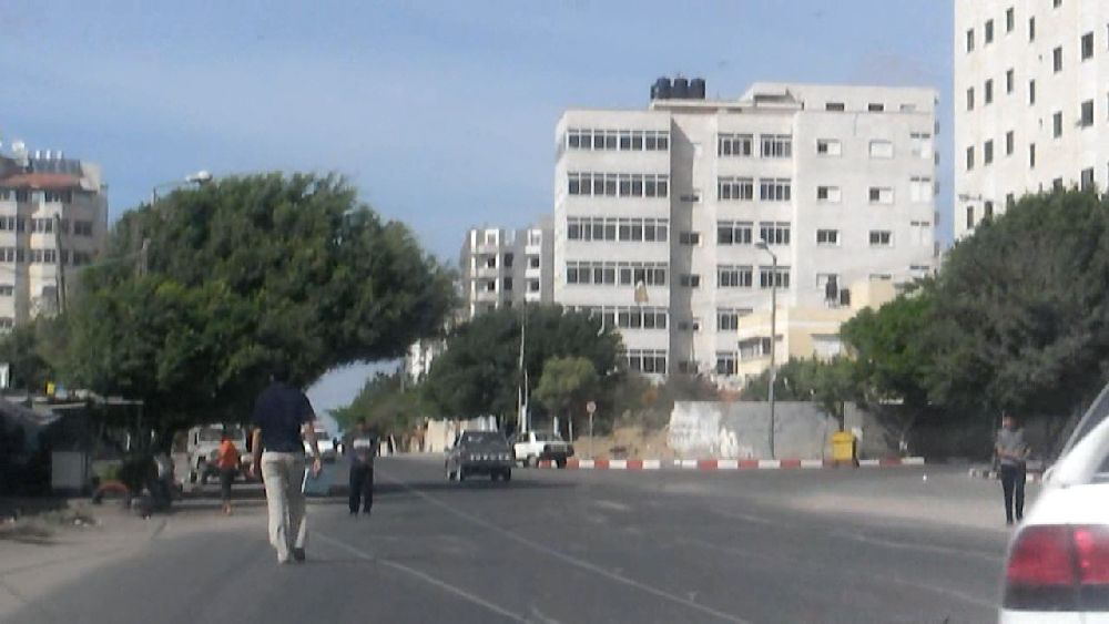 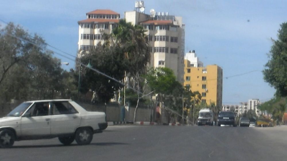 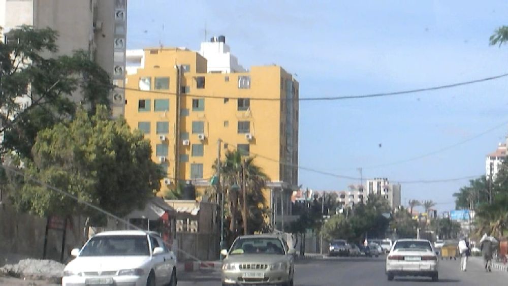 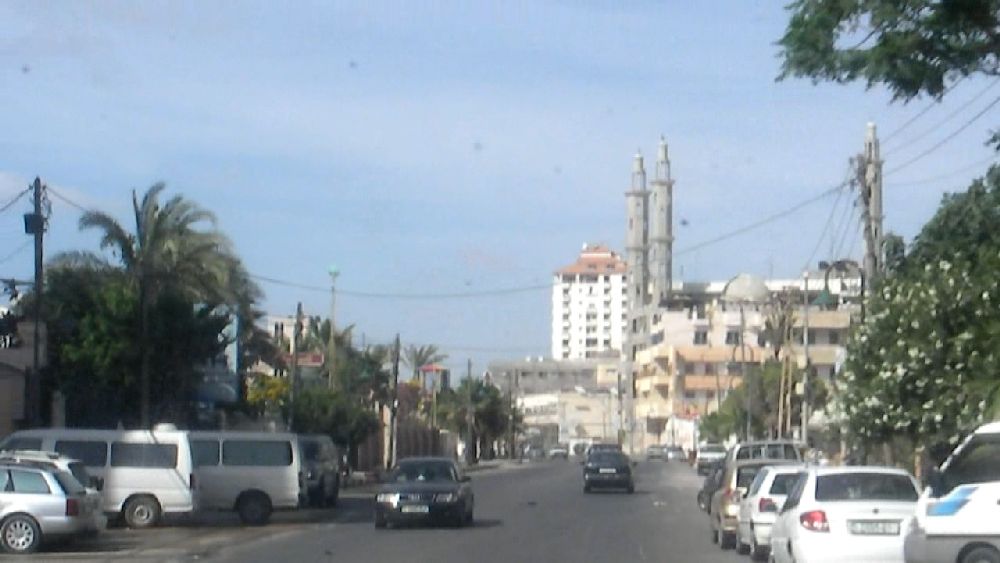 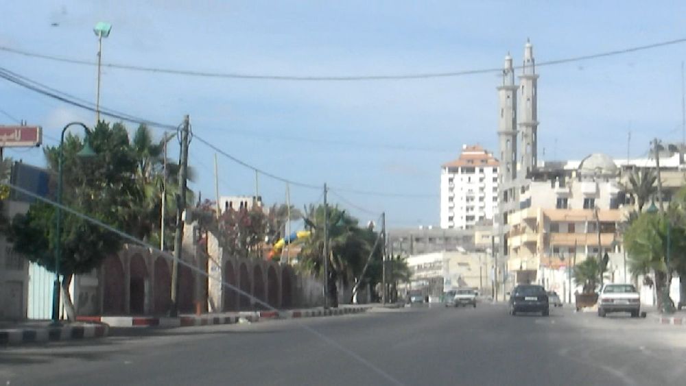  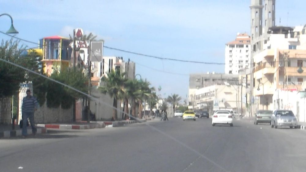
Entering Gaza City along the coastal road. The car in the first photo in the second row may have entered the harbor. The last photo shows the entrance to the Beach hotel to the left. All the hotels had guards sitting in front of them.
Continuation in part 5 Back to contents page
|