Visiting Gaza
16. May 2010 - 26. May 2010A report by Peter Voss, part 3
Mouse click to enlarge photos, Alt + 'left arrow' to return
|
Day by day account
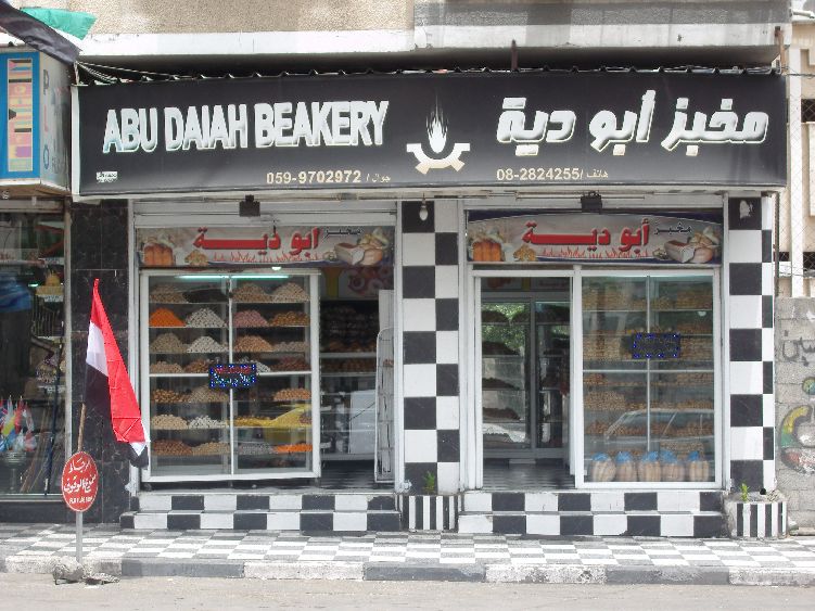
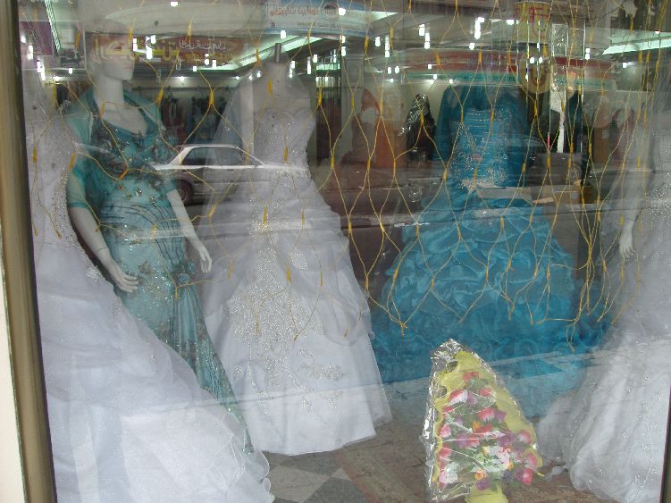
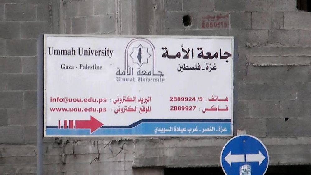
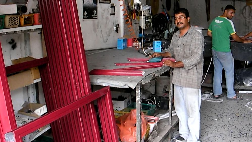
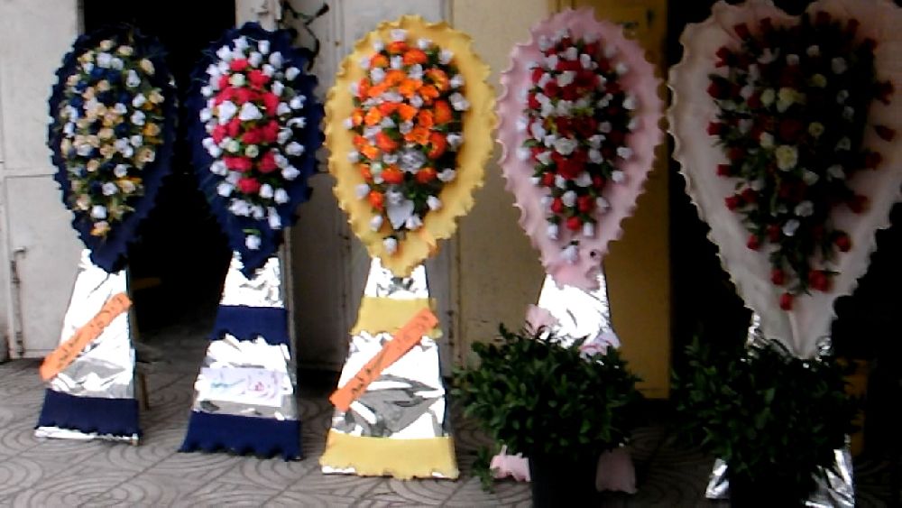
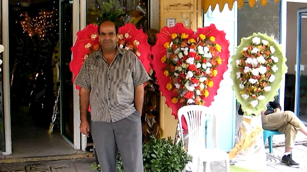
Tuesday, May 18, 2010, afternoon When I left the Ministry of Health in the early afternoon I needed some lunch and decided to walk down Al Wehda St. towards the hotel. I found a restaurant that served falafel. There were a number of interesting stores along the way, a b(e)akery, a travel agent that still advertised Palestinian Airways, a bridal gown store - of which I saw many more - a shop for door and window frames (the aluminum profiles came through the tunnels from Turkey) and a flower shop that had wedding bouquets on display. In this case the flowers were artificial, but I saw them also with real flowers. The hotel area along the beach seems to be the favorite place for weddings of those that still have some money. There was a big wedding celebration every day in one or the other of the hotels. One could not miss it because of the drum music that went with it (no photos please). At the 'western' end of Al Wehda St. stood a half-finished university building with bullet and grenade marks. Further on I noticed a building of the water authority. I had the name of 'Rebhy A. El Sheikh' as an expert on the watersituation, but unfortunately only a wrong email address. He was not located in this building, but after two attempts I managed to get the right phone number and arrange the interview with him. 


 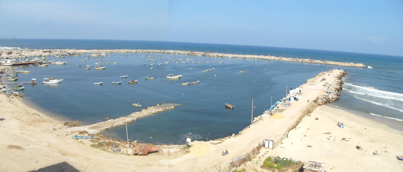 A panorama of the harbor taken from the hotel and a rather rusty barrel. This apparently was not the latest Hamas rocket, but rather a kind of beacon, that was later placed at the entrance of the harbor in expectation of the arrival of the flotilla.   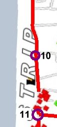 This afternoon there were only
about two hours left to take photos, so
I decided not to continue the morning trip further 'east' towards Beit
Hanoun, but rather discover some of the middle section of Gaza. This
area between Gaza City and the refugee camps An Nuseirat and Al Bureij
was the section in which the Israeli tanks had moved around freely -
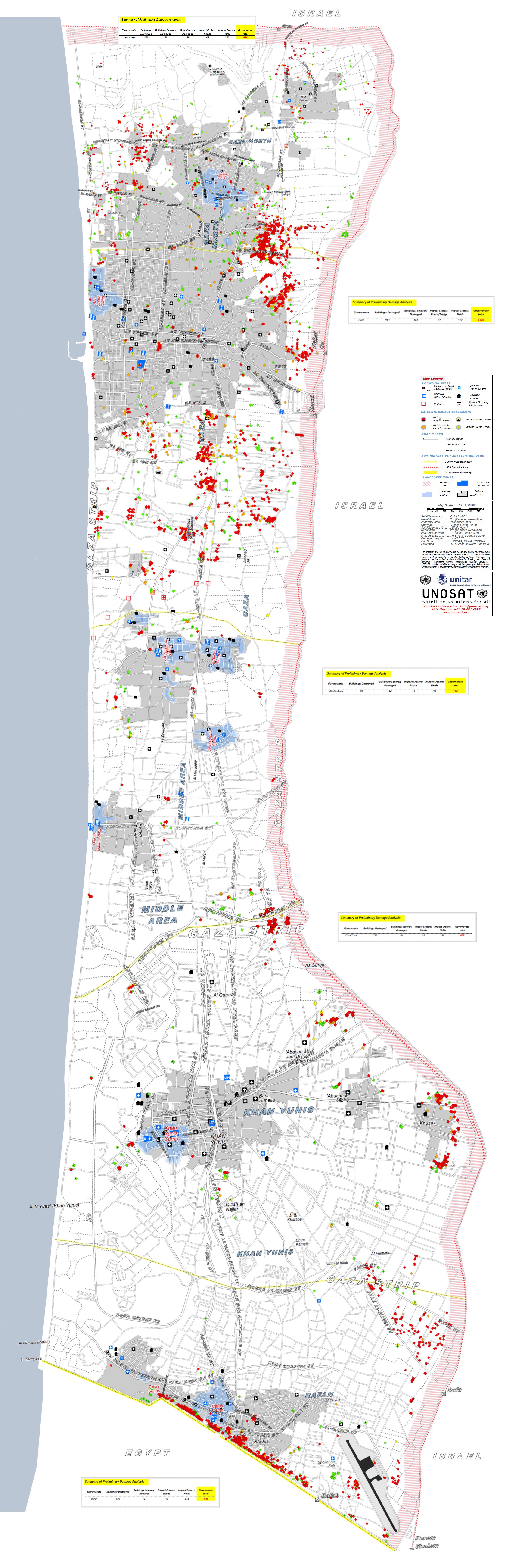
causing a lot of damage, as can be seen from the map -, in order to cut
the upper end of the Gaza strip from the lower one. This afternoon there were only
about two hours left to take photos, so
I decided not to continue the morning trip further 'east' towards Beit
Hanoun, but rather discover some of the middle section of Gaza. This
area between Gaza City and the refugee camps An Nuseirat and Al Bureij
was the section in which the Israeli tanks had moved around freely -
causing a lot of damage, as can be seen from the map -, in order to cut
the upper end of the Gaza strip from the lower one.The name of my taxi driver was Al Aa. So this afternoon my route was guided by Al Aa. He spoke some English. Outside of Gaza City there were fields on the seaside. In one of them farmers were harvesting cucumbers (10). At the next intersection we stopped and then turned inland (11). The area had hardly any vegetation. The bare hill in the background was the area of a former settlement. On the right hand of the road was a group of buildings standing by itself. We inspected these buildings more closely at the end of this day's trip. Further inland one could see the buildings of Al Zahra that we also visited on the return leg of our trip.   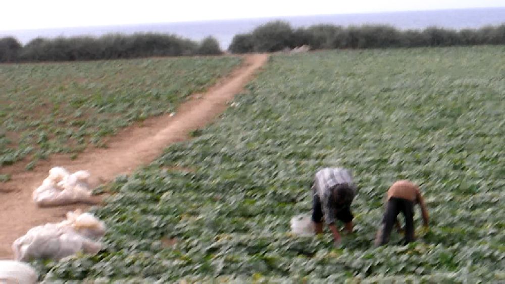 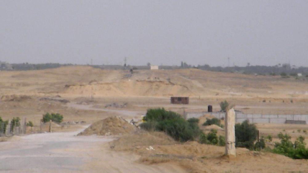  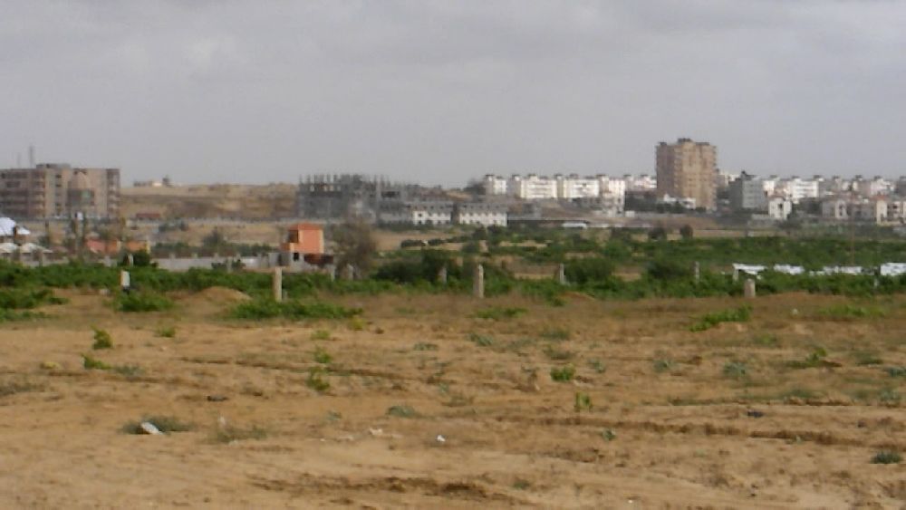  We stopped at location 12, right 'north' of the isolated group of buildings. On the way there I filmed a shack in the field. On all my trips I never walked up to any of these. Most the time I could not have talked to any inhabitant anyway. But so I never figured out whether these were just field huts or whether they were actually living quarters. Since there was so much damage in this area I think that many of these provisional buildings that we encountered during the following hour were actually living quarters. Al Aa was very intrigued by the building complex and had a certain idea what it was meant for. I found that hard to believe and therefore will not quote him. On our way back we actually visited the place (see below) and it became clear that it is not at all affected by any Israeli blockade. Therefore I decided to call this the"Recreation clinic with Hamas bunker", since - as every Israeli knows - Hamas prefers to built bunkers below hospitals. When the complex is finished next year, the upper structures will certainly have the character of a clinic for mental and physical recuperation, though certainly not for the masses.  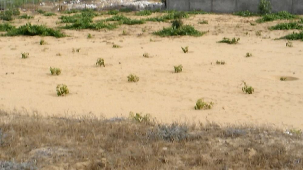 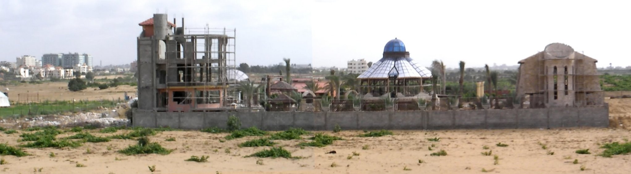 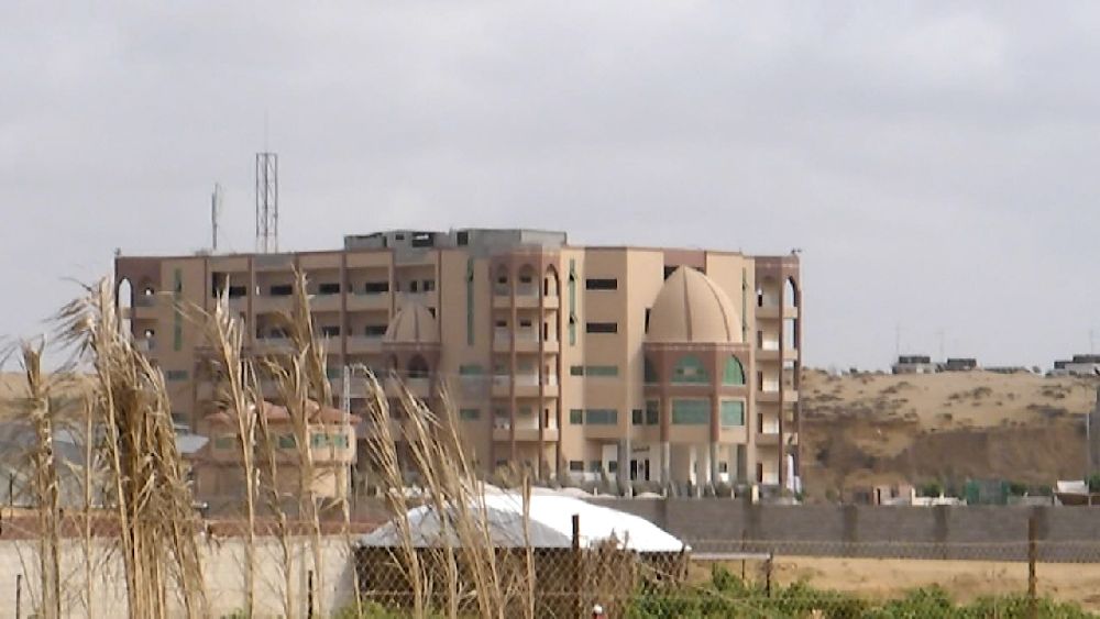 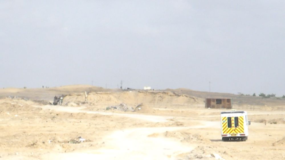  (13), views: 'south': Palestine University; 'east': former settlement; 'north': destroyed structures 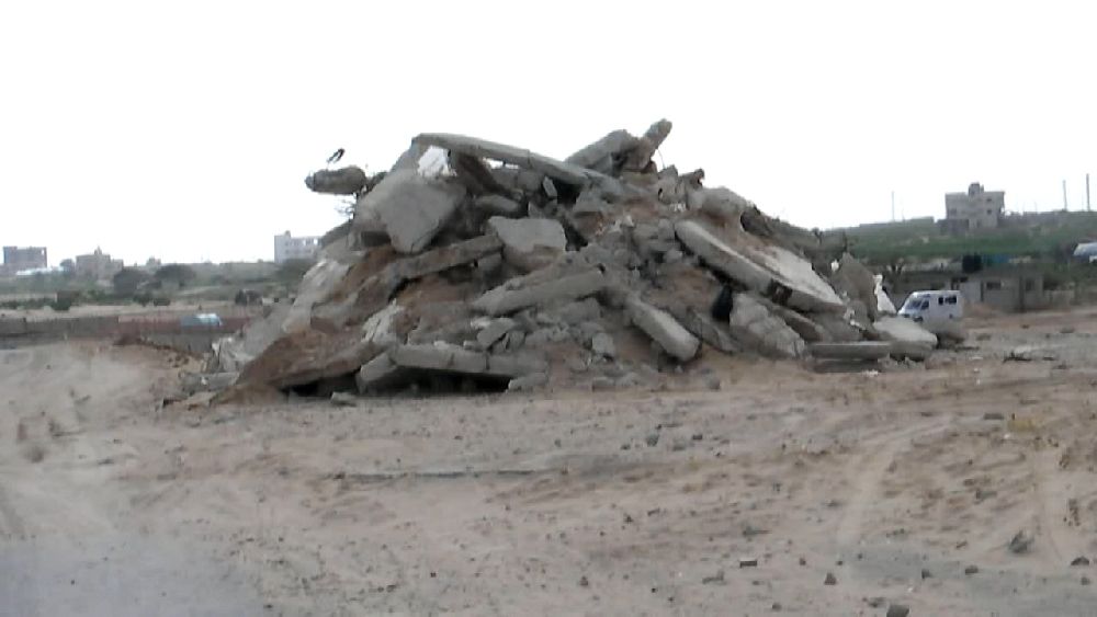  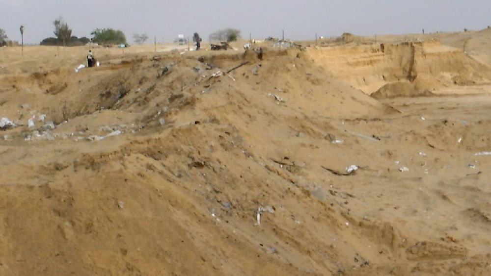 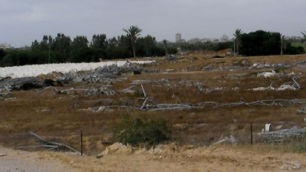 (14), views: 'south-west'; 'south' sand removed under the remains of a stairway; 'west': moon landscape; 'north-west': destroyed frames (probably from greenhouses) 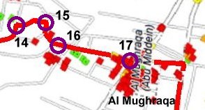 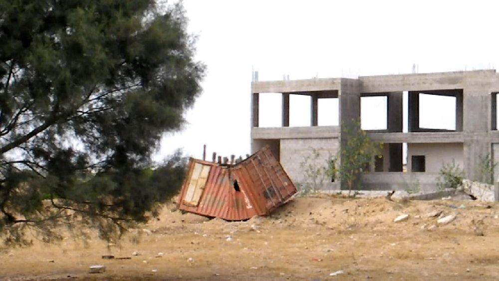 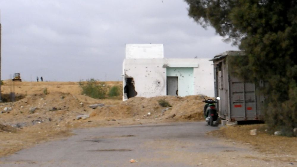 (15) These buildings apparently were intended to be part of a new university complex. 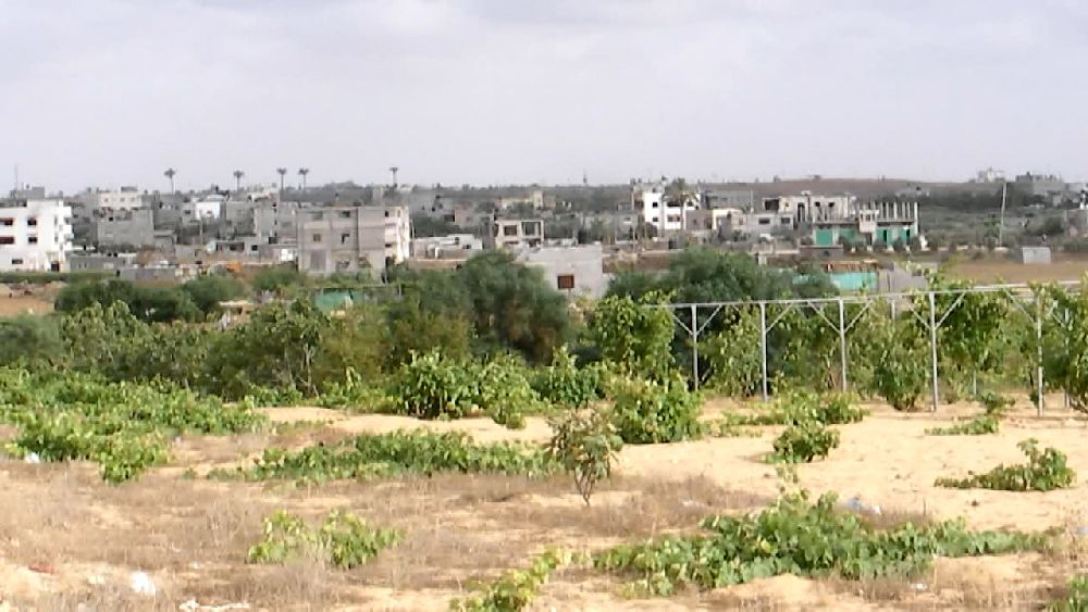 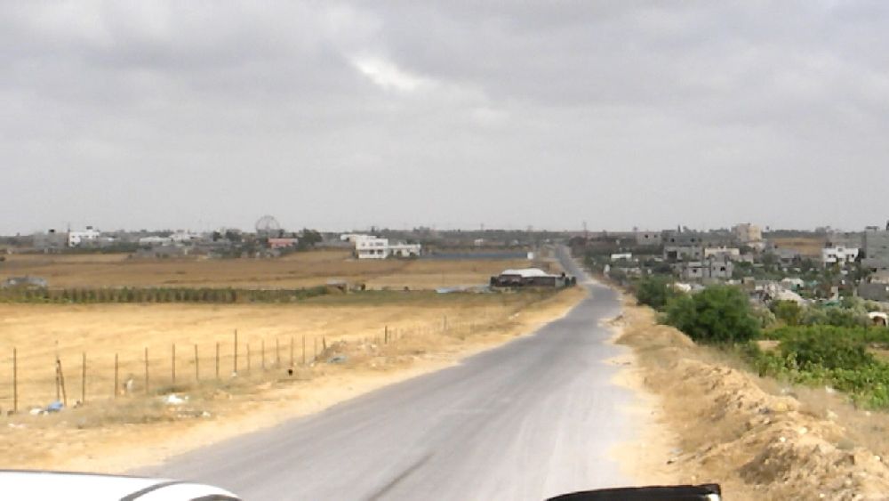 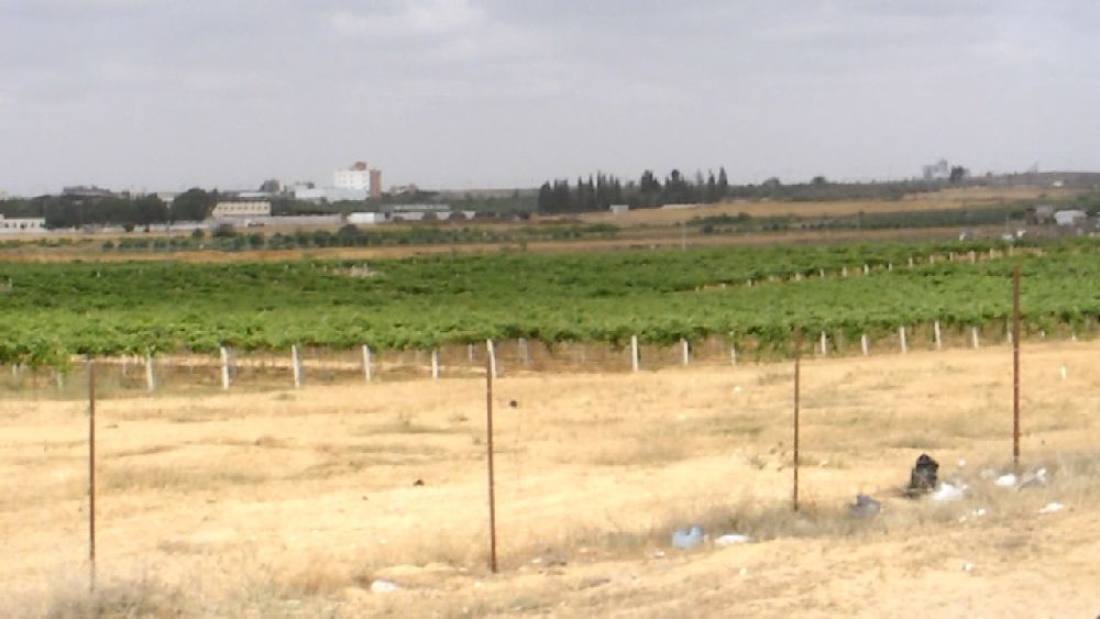 (16) views: 'south-west', Al Mughraga in the background; 'east'; 'north-east' 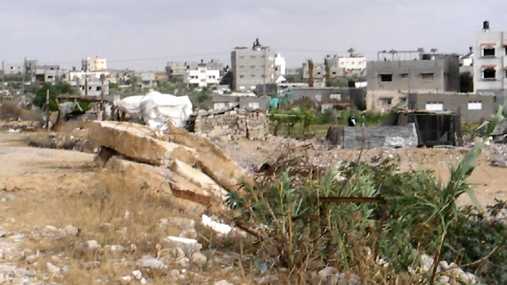 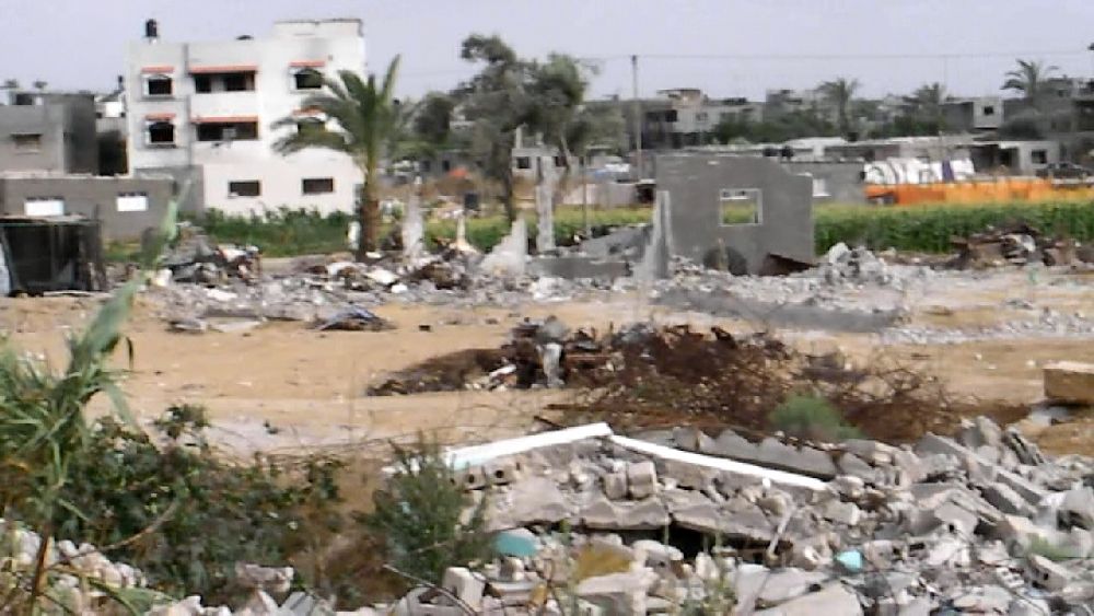 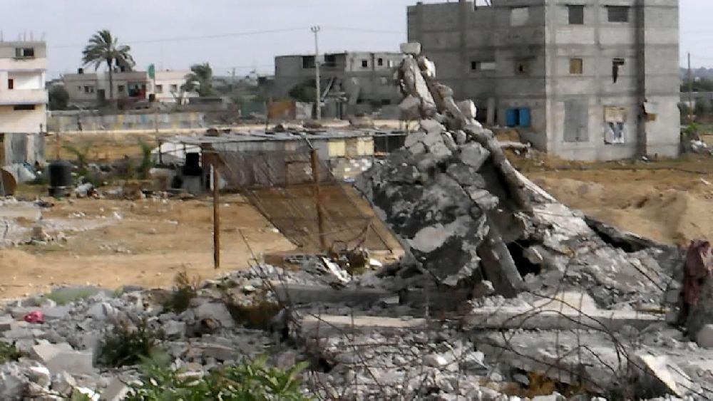 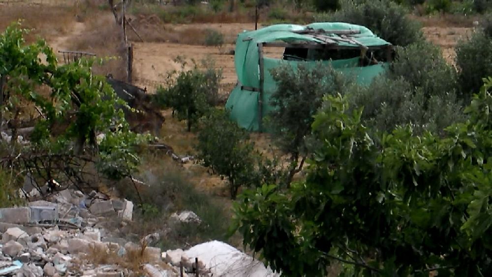 Between (16) and (17). It seems that pretty much every building close to the road was destroyed.  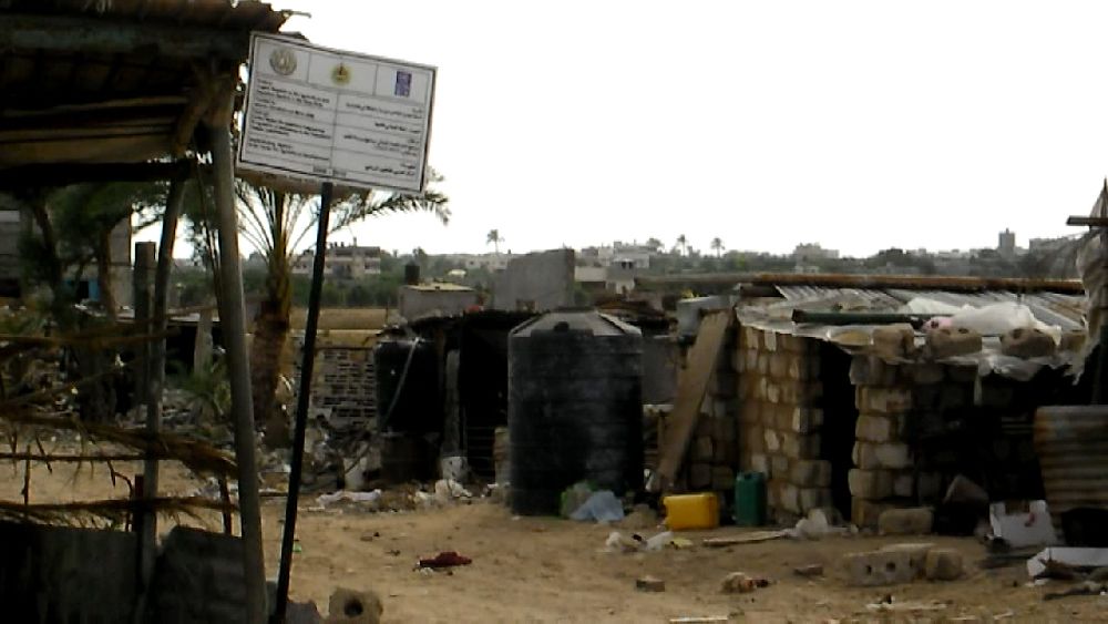 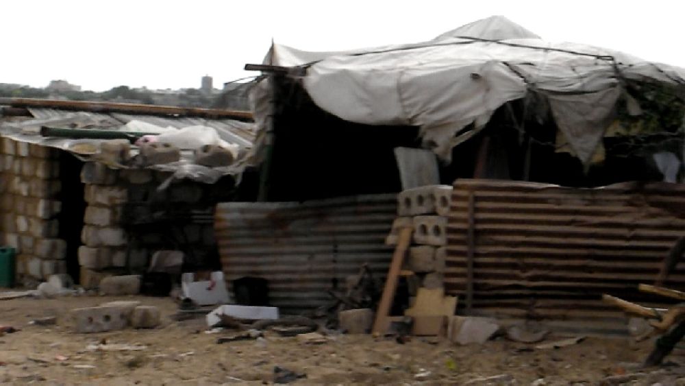  Between (16) and (17), a short stretch further down 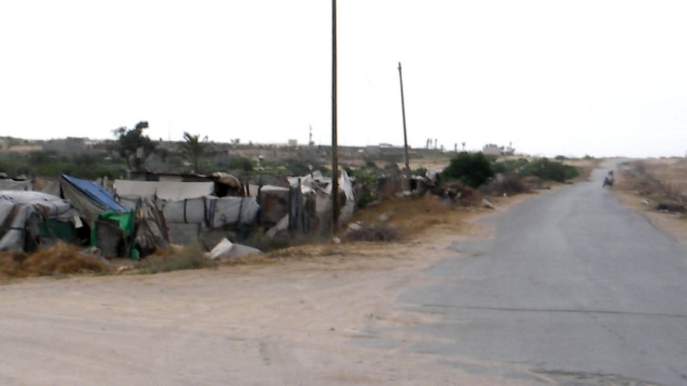 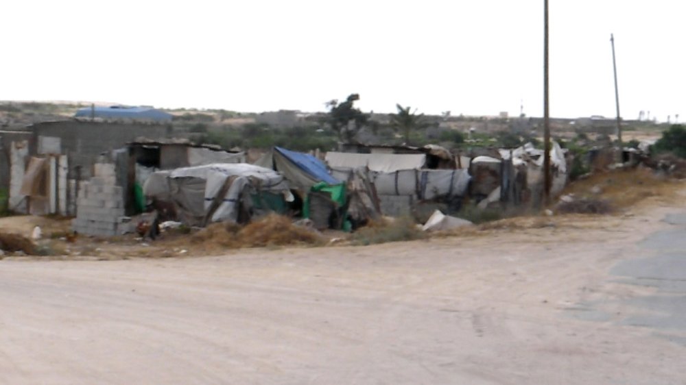 (17) 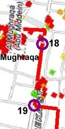 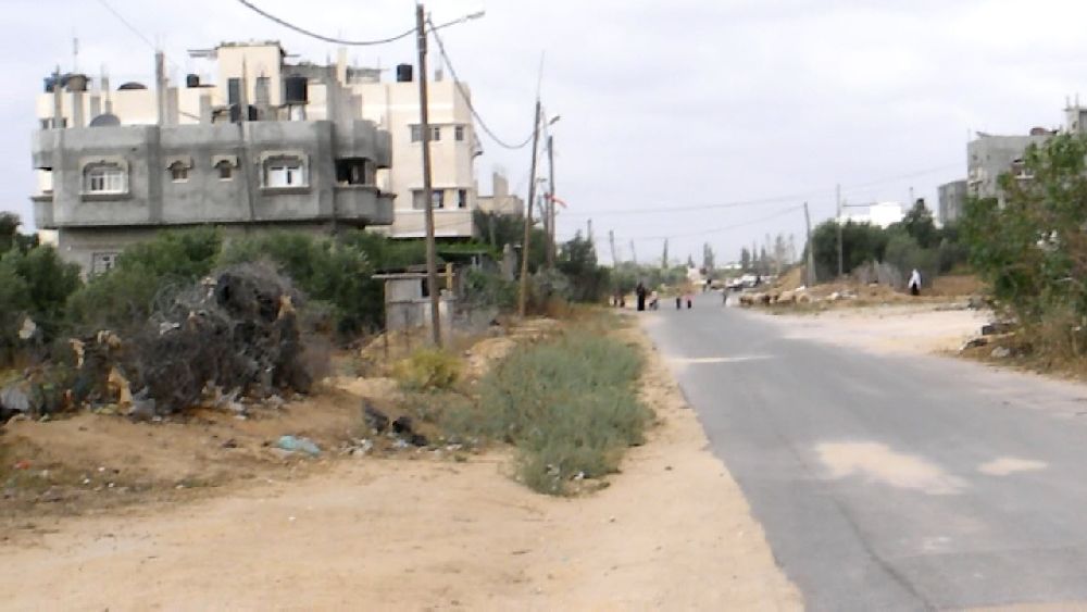 From
my 'destruction' map I had figured that Al-Seka Street must be the
main road going south. So I did not quite believe the taxi driver when
he turned into a very quiet village road. But he was right. The UN must
have missed something. From
my 'destruction' map I had figured that Al-Seka Street must be the
main road going south. So I did not quite believe the taxi driver when
he turned into a very quiet village road. But he was right. The UN must
have missed something. Near location 18 was another stone mill for the rubble. Further down we passed some houses with signs attached. One of them indicated that we were indeed in Al-Seka Street. The Germans had granted some money to repair the road. A few meters further on it became obvious, though, that this money was probably never spent (19). We had no choice and had to drive over to the actual main road, Salah El-Deen Street, which is hardly visible in this section of the map.  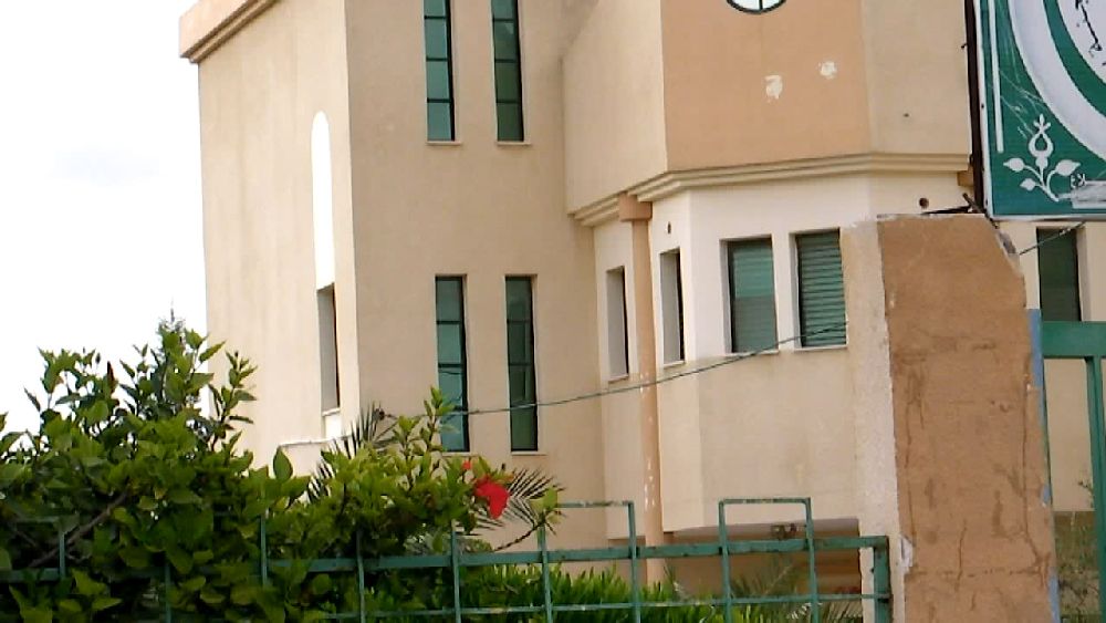  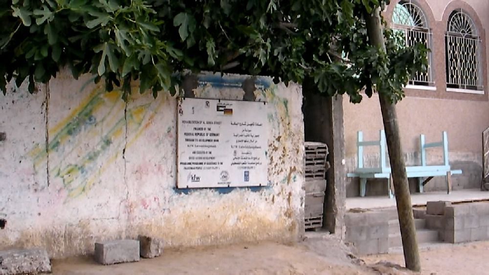 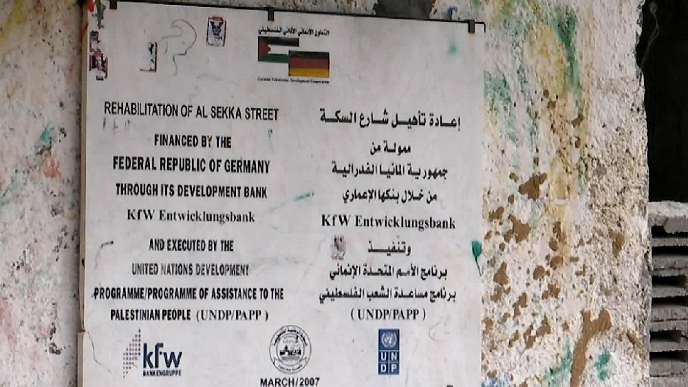  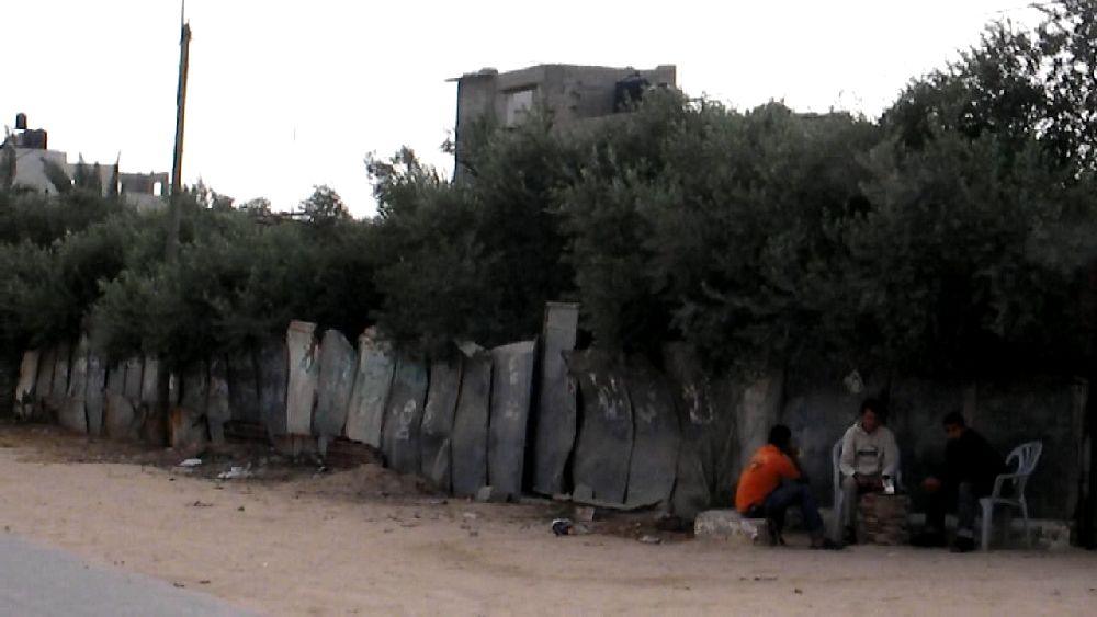  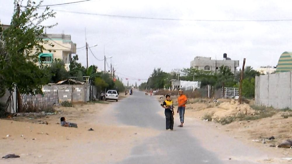 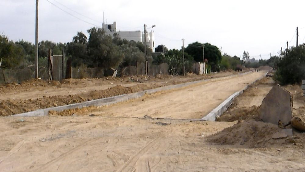 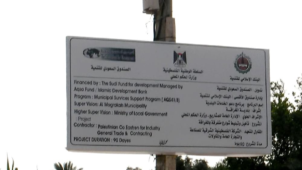 (19) Al-Seka Street-project not quite finished 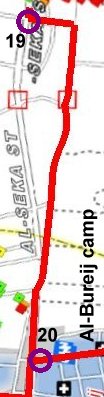 We went down Salah El-Deen Street to the
entrance of the Al-Bureij camp (20). We went down Salah El-Deen Street to the
entrance of the Al-Bureij camp (20).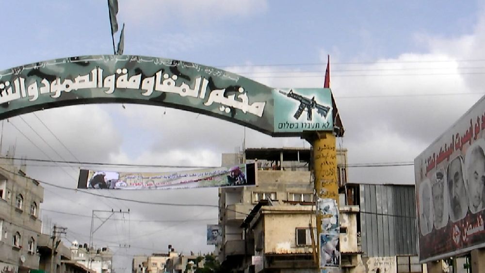  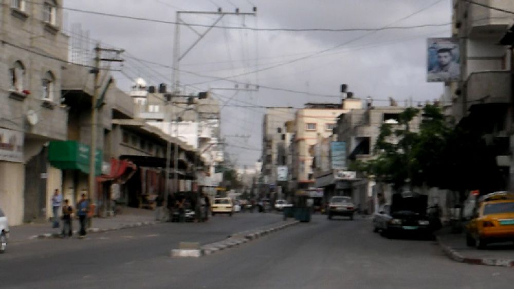 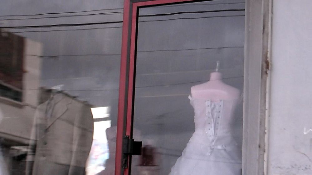 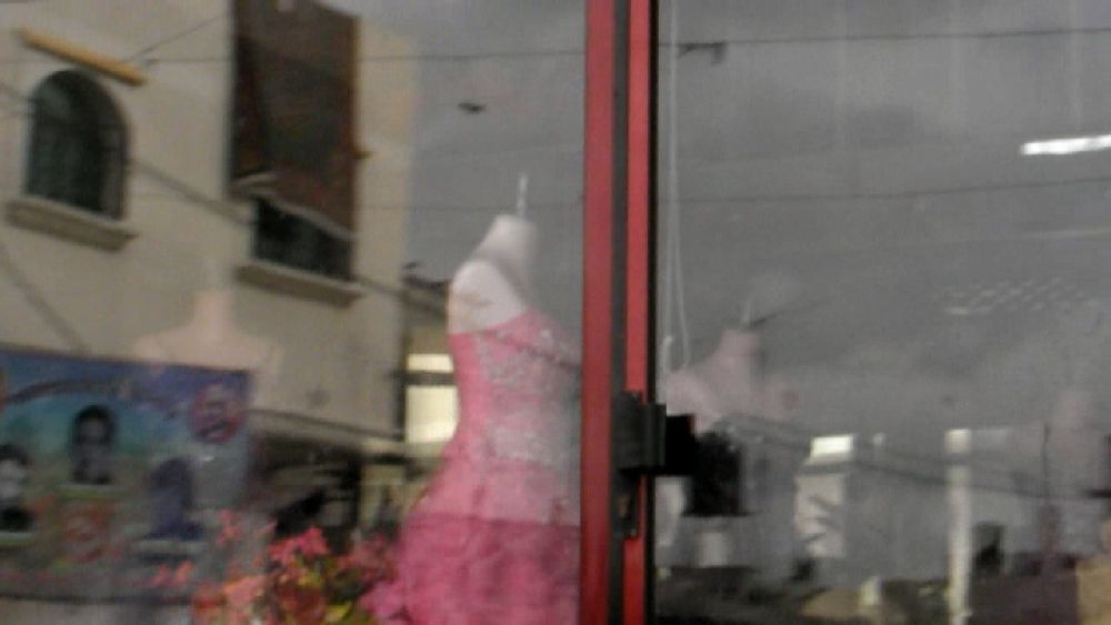 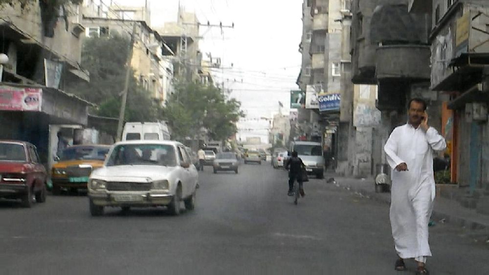     Crossing the camp Crossing the camp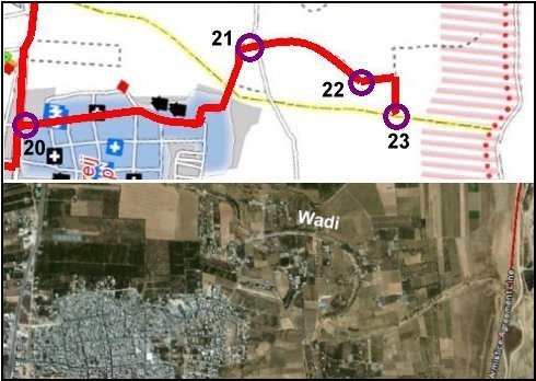 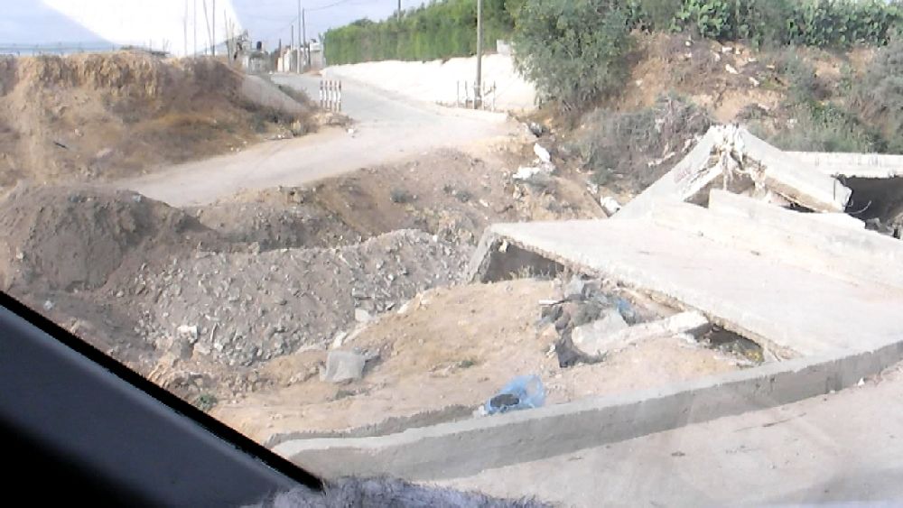 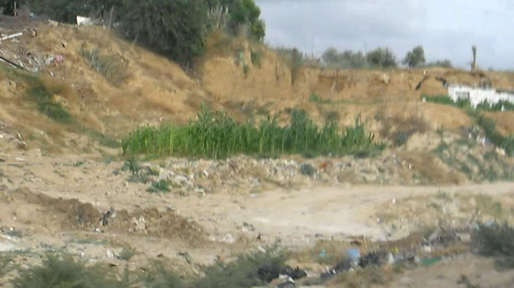 (21) In this area the wadi was absolutely dry, i.e. all the water flowing into the sea (part 5) apparently is waste water. 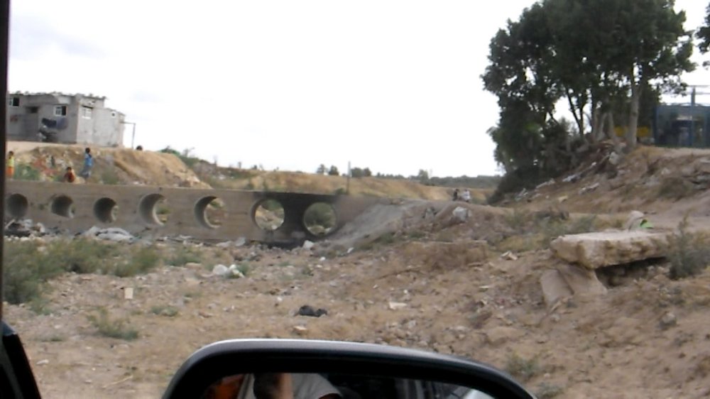 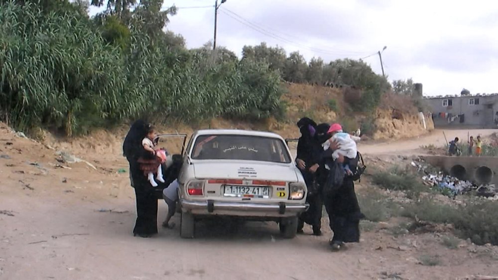 (22) 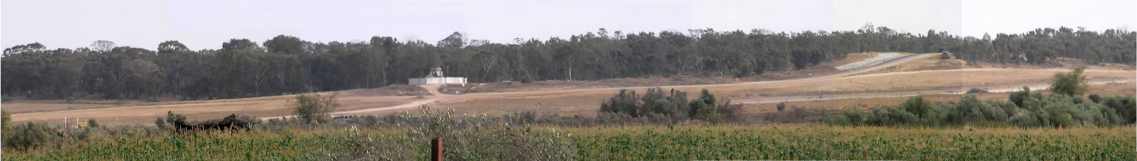 (23) Patched panorama (some sky and some forefront filled in). The view is almost 'south', i.e. the border is quite some distance away. The fence is visible in the right half behind the bushes.  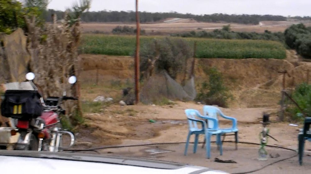 Al Aa stands to the right. The farmer invited us to have some tea, but since it was already 6 p.m., I rather wanted to go on in order to still have some daylight on the way home (sunset was around 7:30 p.m.). We drove back the same way we had entered Al Bureij camp. Al Aa was greeting many young people in the camp, who apparently were all relatives of his. He turned off into a side street in order to show me the sports hall of the camp, which was quite impressive. 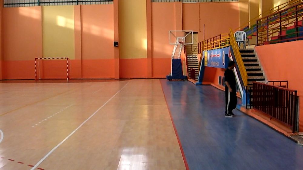   We crossed over the main street into An Nuseirat camp which also seemed pretty much to have the character of a normal town (24). 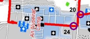 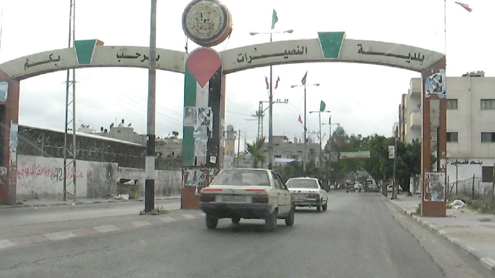 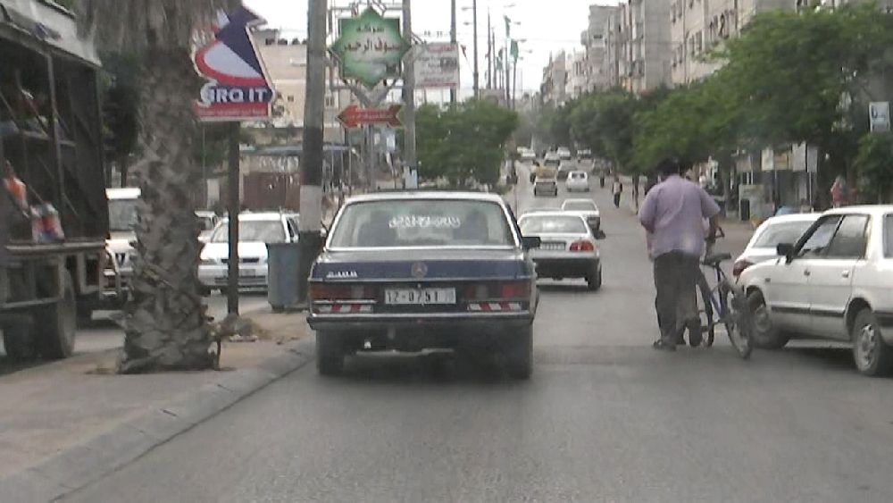 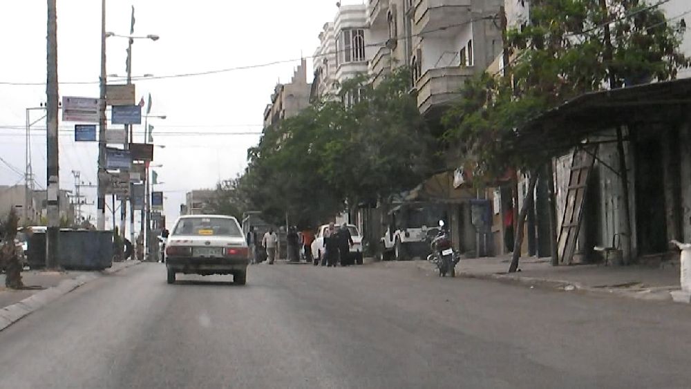 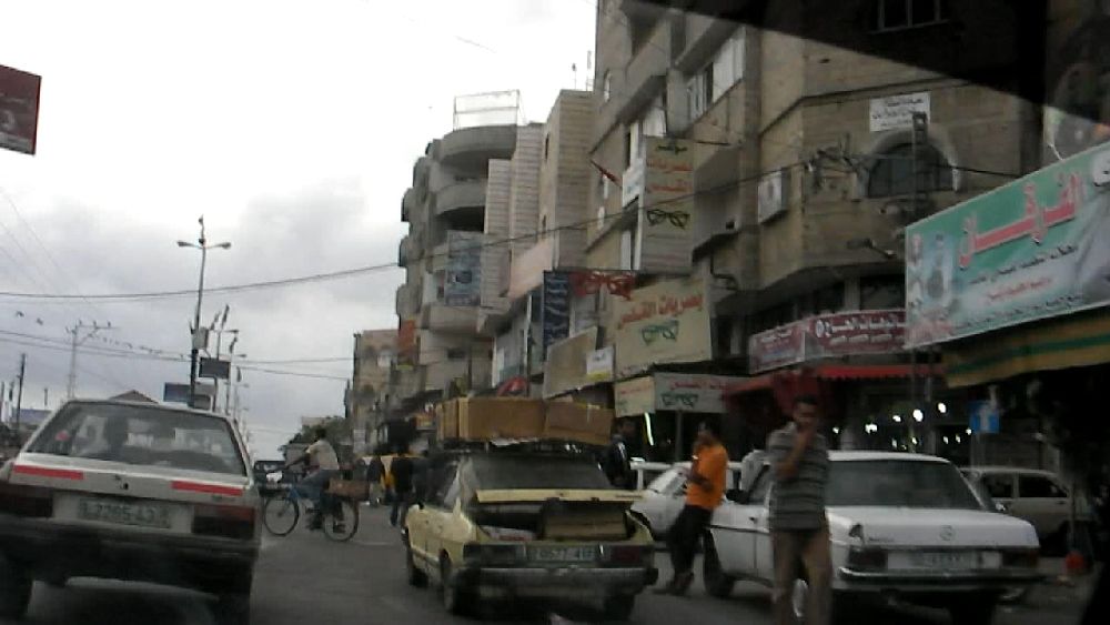   At
the other side of An Nuseirat we did not continue down
to the beach, but turned off, because Al Aa wanted to show me the
modern neighborhood of Al-Zahra (25). It seemed to be a lot less lively
than the other places we went through. At
the other side of An Nuseirat we did not continue down
to the beach, but turned off, because Al Aa wanted to show me the
modern neighborhood of Al-Zahra (25). It seemed to be a lot less lively
than the other places we went through.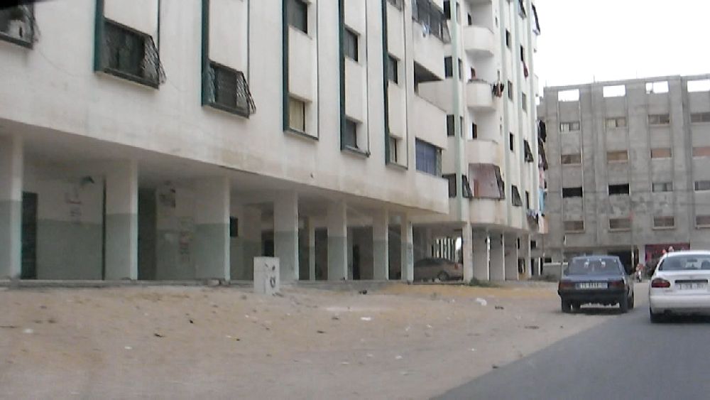 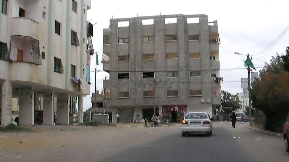 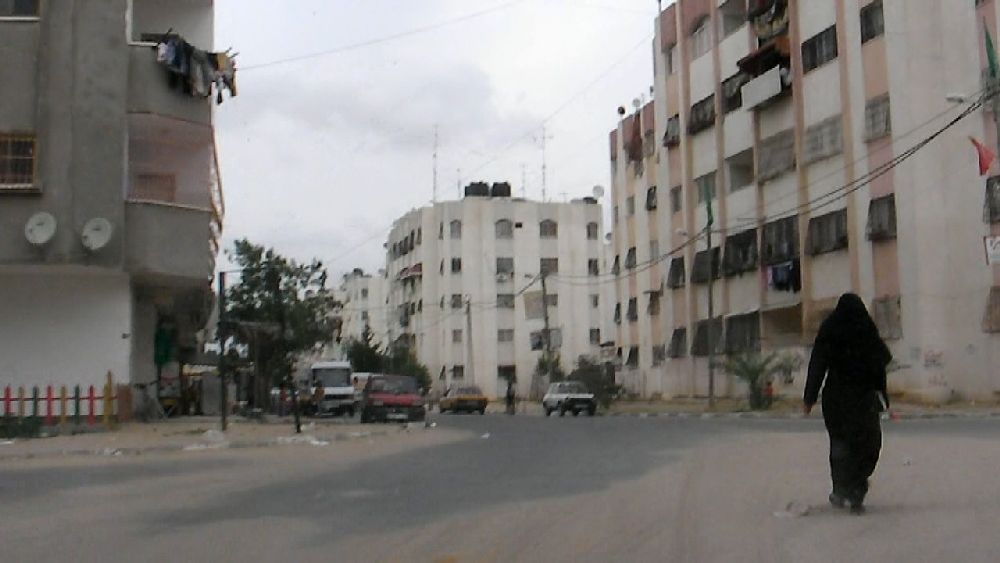  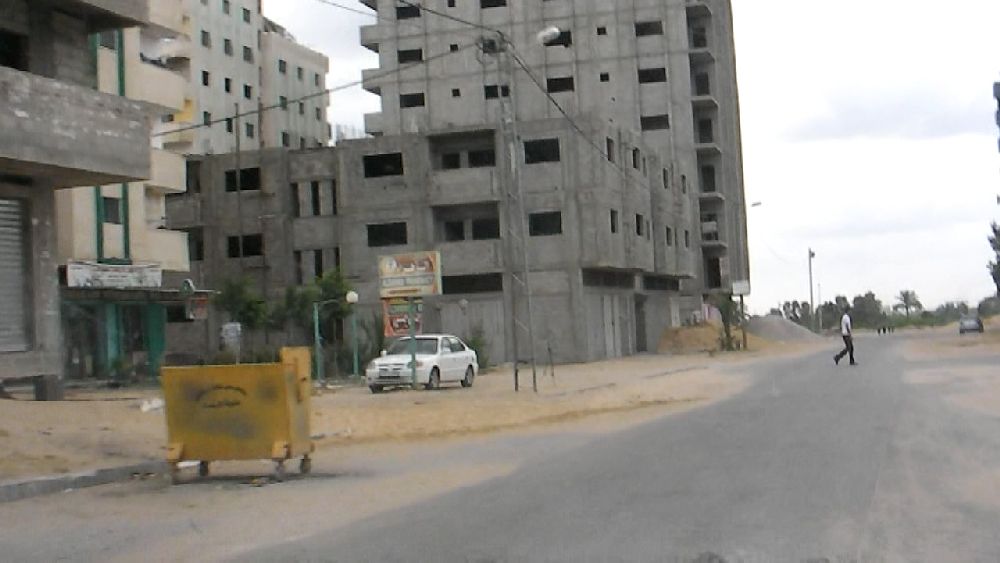 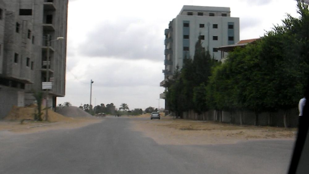 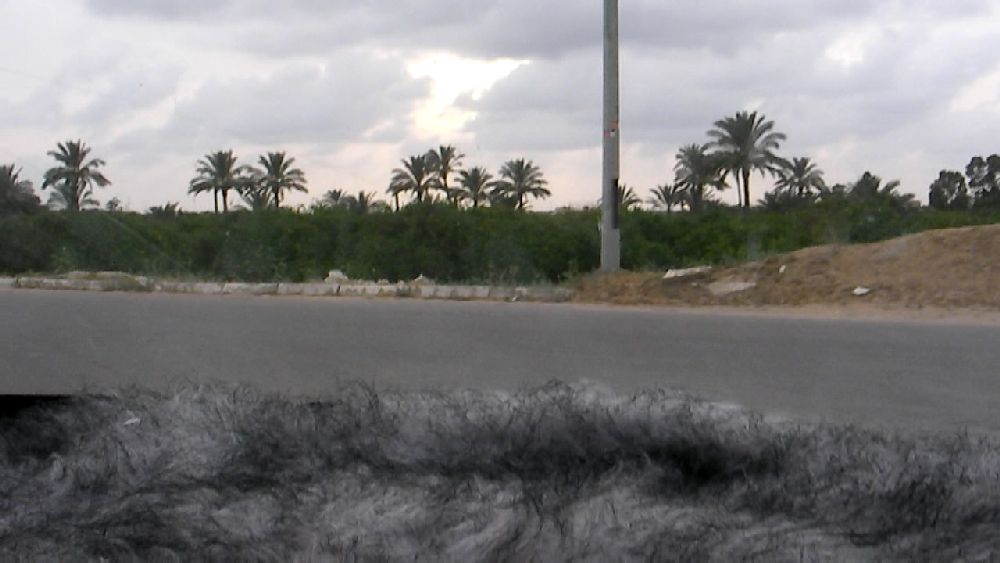 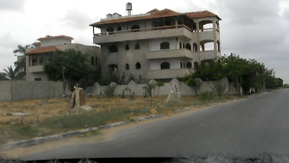 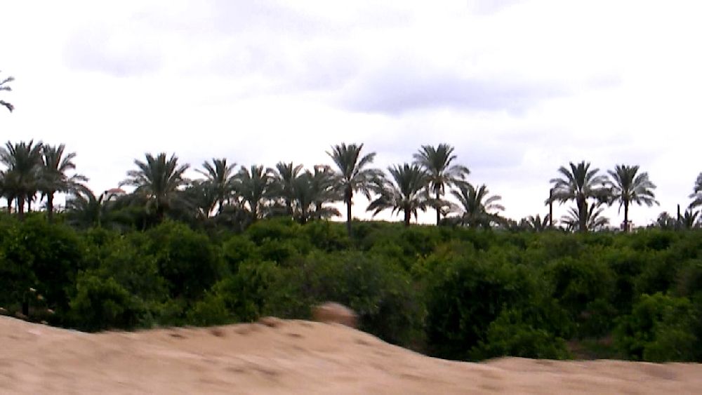  A fast road took us back to the beach. 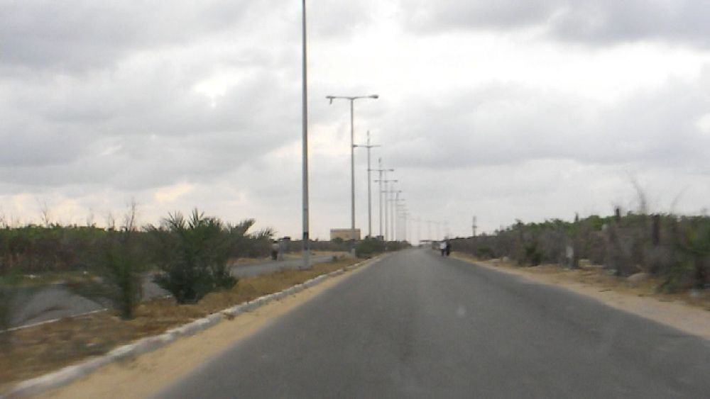 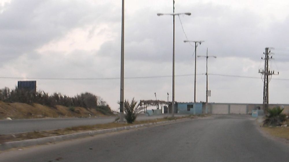 We did not go straight home, because Al Aa wanted to have another look at the "recreation clinic"-complex. A cul-de-sac led to the entrance. It was already close to 7 p.m. I climbed onto the pile of rubble along the wall surrounding the complex in order to have a view over the wall. Since there was quite a bit of vegetation, there was not all that much to see. In the meantime Al Aa hammered against the gate. To my surprise it was opened after a while and we could step inside on the condition that I would not take any photos. The inside was a rather ornate stone garden with niches and columns. The only thing that one could not guess from the outside was a swimming pool tiled with blue mosaic. We also saw the 'bunker' below the pavillon, still in an unfinished state. I felt rather uncomfortable in it, because of the low ceiling. 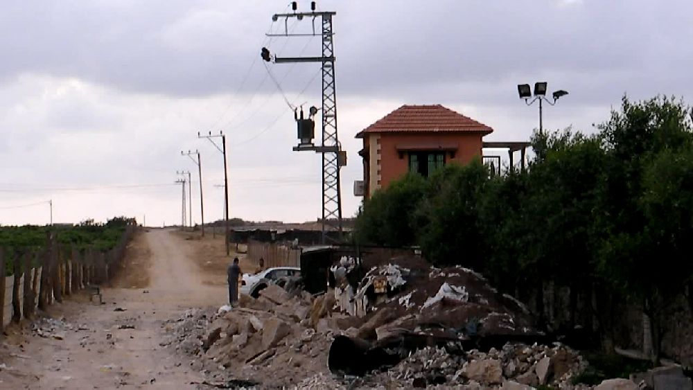  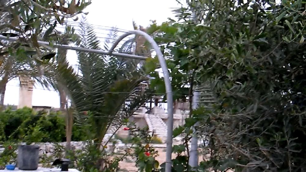 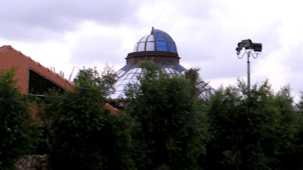 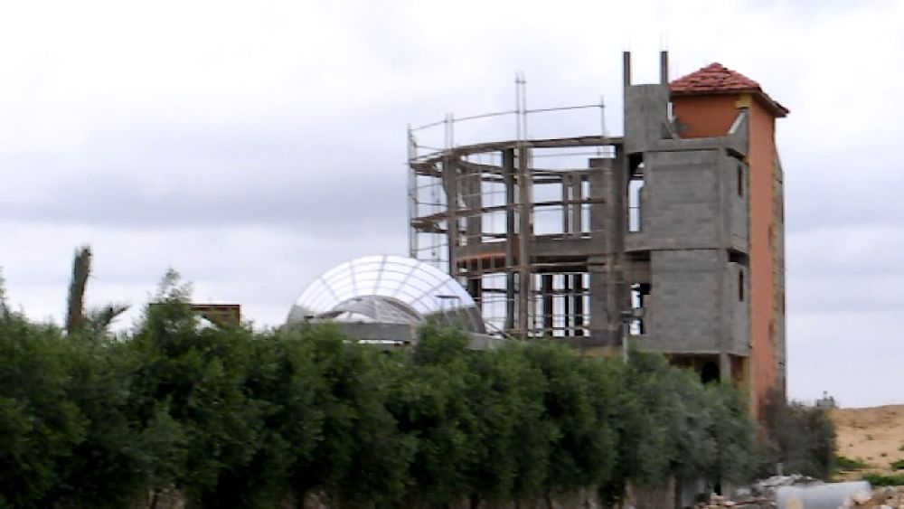 Almost at the end of my trip I finally had the bright idea that the zoom of my video camera could also be used to take still photos with good resolution As can be seen in the first photo above, one could look down at the complex from the coastal road. So on one of the following days I stopped there and took some extra photos for another panorama view. 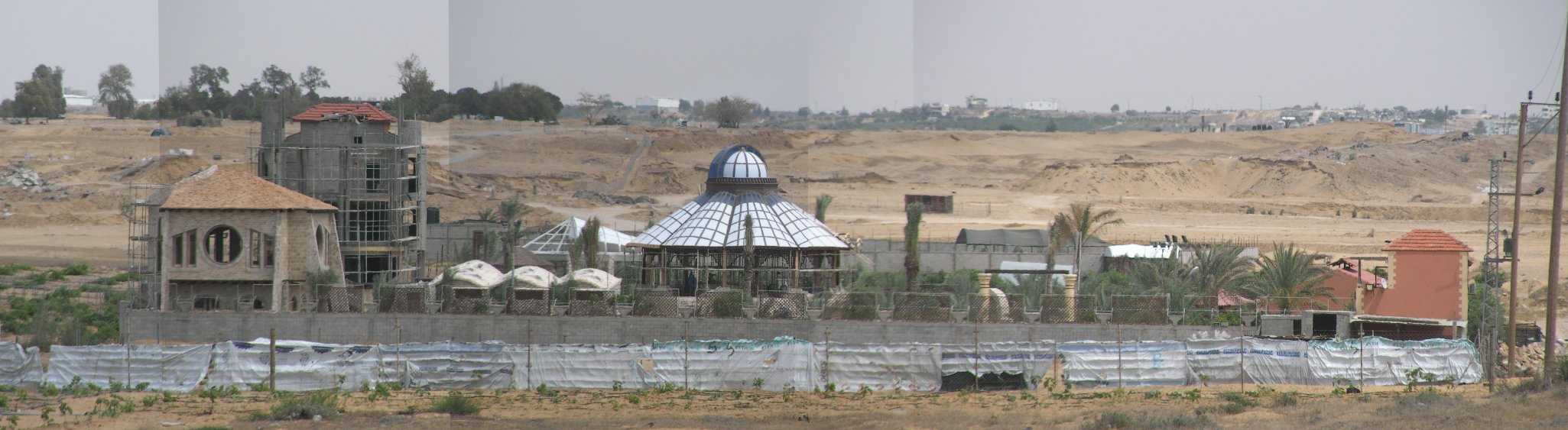 This place obviously leaves some space for fantasy. We should keep in mind that most of the people living here have not had a place to go for years other than move around in this narrow strip of sand, that is still being devastated day by day. Just have a closer look at what the background in this photo looks like. I guess we should take a place like this as an expression of the will to survive as human beings. It may also be that this complex can only be operated when the borders are open again.
Continuation in part 4 Back to contents page
|