
home
| |
Palästina
- Israel home |
PalisD |
|
My third visit to Gaza
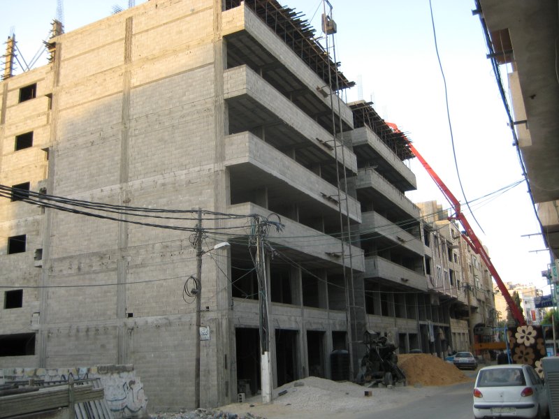
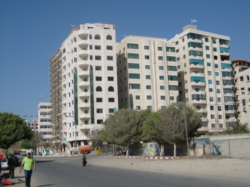
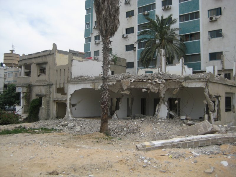
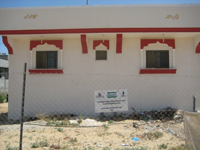
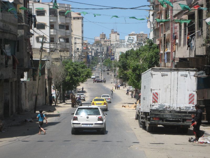
April 21 to May 3, 2012 Peter Voss 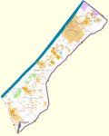 Gaza maps: 'OpenStreetMap', 'destruction'; 'no-go'; 'satellite': Google Earth oder Google Maps, else (28 MB) First Impression and trip with the bicycle Since my last visit almost exactly a year had passed. Mid-year 2010, after the Mavi Marmara event, the Israeli blockade was relaxed from 23% to 45% of the normal level, and I was curious to see whether there had been obvious changes. There were quite evident changes, because in Gaza City there was construction in many places. On the open space created next to the Al Quds hospital during the Israeli attack the end of 2008, there is a large UNRWA school complex. While the building projects of the UN can be carried out exclusively with building material which was permitted by Israel, the rest of the building material comes through the tunnels. On October 12, 2011 the organisation IRIN published the following data: "According to UN estimates, in September 946 truckloads of authorized construction materials were allowed to enter Gaza via Israeli-controlled crossings for approved international humanitarian building projects: 665 truckloads (46,550 tons) of aggregate, 232 truckloads of cement (9,195 tons), and 41 truckloads of steel bars (1,418 tons). An average of 90,000 tons of cement, 90,000 tons of aggregate and 15,000 tons of steel bars are entering Gaza via tunnel each month, according to UN estimates." If one takes the values for the crossings to calculate the truck equivalent for the tunnels, one comes up with approximately 4000 truck loads per month or about 200 trucks per day. It was also apparent that the food supply has improved. Even in the small food shops there was an amazing variety of chocolate, for example, where the question is, though, how many people may be able to afford it. Not very far from my accomodations, a well supplied "Metro" supermarket opened last year. I never went to it, although I probably could have improved my somewhat monotonous daily menu. There are photos in the Internet (notice the link) which indicate a very good offer. In the following I will describe very extensively why for the majority of the people in Gaza this store is probably completely uninteresting. 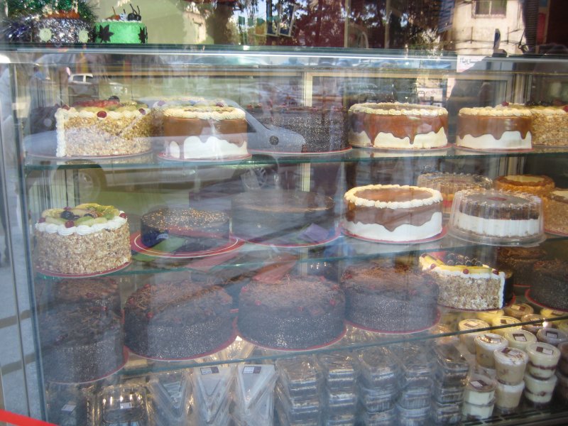 The following pictures show some construction sites and a construction sign. The Shifa Hospital, where I had taken a picture of a damaged building two years ago, without knowing the connection, building has continued. Once there was a surprise for me, because next to a high rise building there was a comparably low building that was completely demolished. I asked a taxi driver why the Israelis had bothered to bombard such a building. He explained to me that the house was torn down by its owner, because he wants to build a high rise. Such a mistake can be made by an outsider in the center city of Gaza City, though probably not in the outskirts. Also at the Islamic University, the new laboratory building to replace the one destroyed by the Israelis, is rebuilt considerably larger than the previous building. Apparently they use the available space as far as they possibly can. 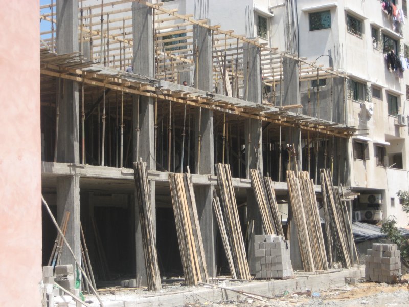
 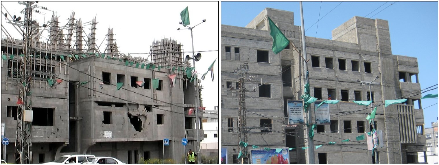 Extension building of Shifa hospital 2010 and 2012 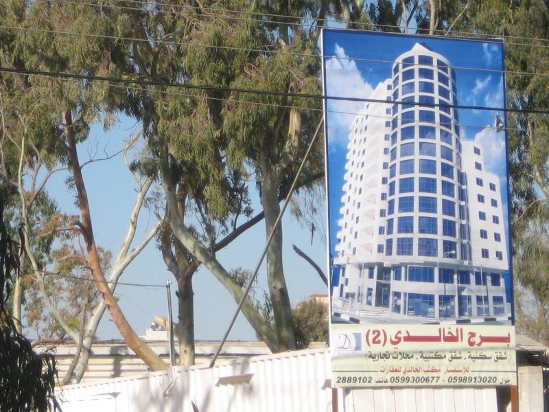
 construction sign and building to be torn down 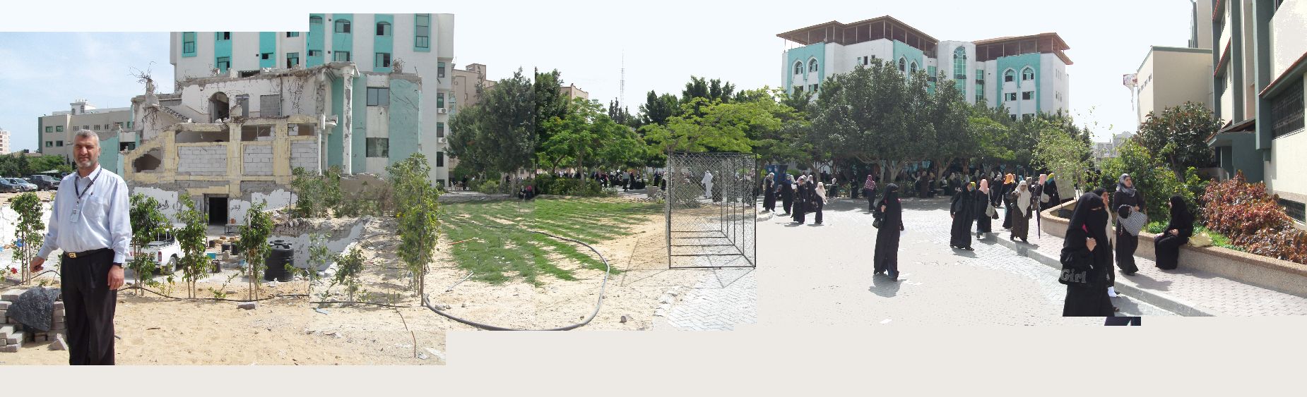 Islamic University, removed laboratory building 2010 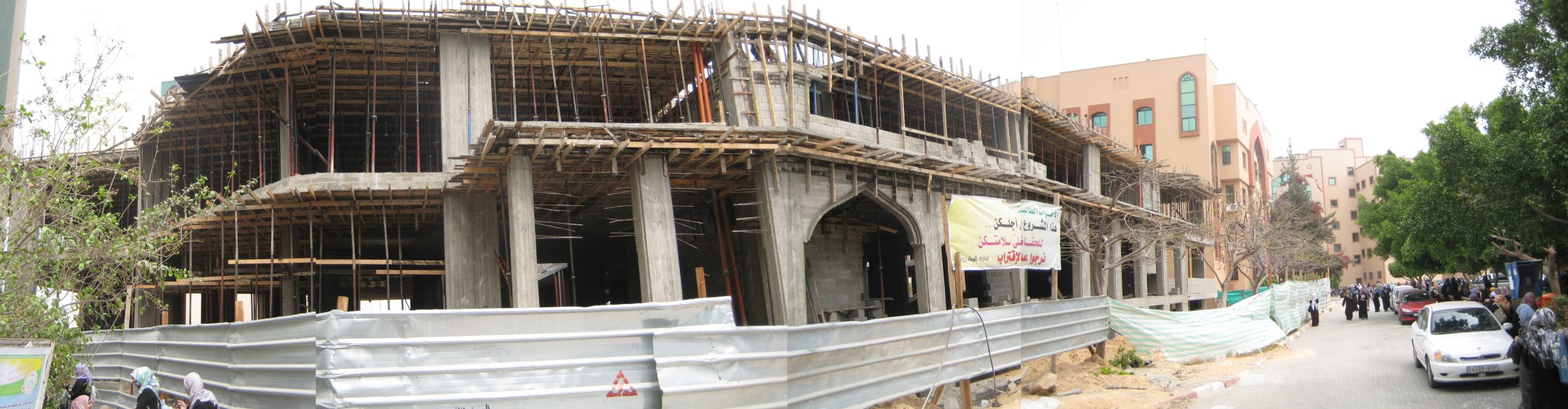 reconstruction 2012 I noticed the
constant power
failures much more on this trip, because I didn't live in a hotel and
didn't spend time late at night in restaurants with generators. The
situation was probably worse than in earlier years, because just now or
somewhat earlier there were great difficulties with the fuel supply,
affecting the electric power plant and the traffic. I won't go into
detail about that. It had at least partly an inner Palestinian
background.
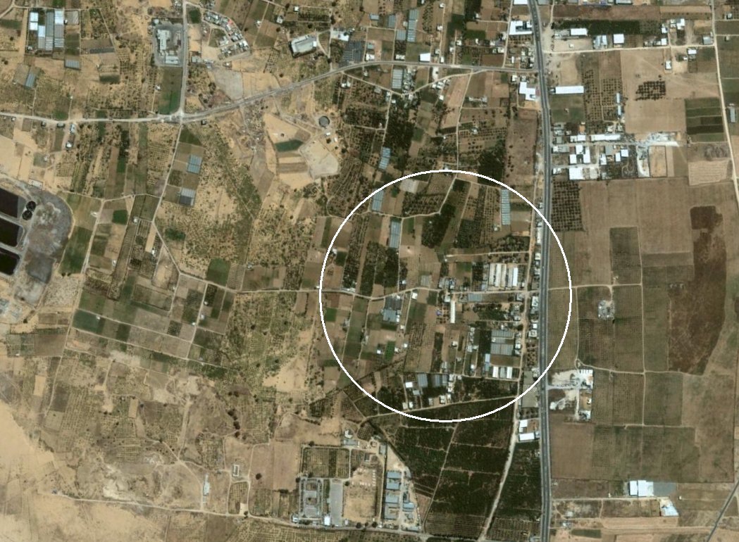
Bicycle trip This year the bike was mainly a reserve in case the gasoline supply should become really critical.The situation had already become somewhat better by the time I arrived. I used the bike now and then for short stretches because I could park it easily in the house, and on a Friday, i.e. on a weekend, I took a ride. On the trip I took in 2010 I got off the intended route very soon, but I considered it already at that time a lucky coincidence, and now that was confirmed. This time I wanted just to see how much last year's planned route differed, and I planned a different end goal from the beginning. I was armed with a better map and besides I had two minarets as an optical starting reference. The map shows my path, the red stretch the way to my goal Zeitoun and the dashed green stretch the way back along main streets, where on this day there was little traffic. 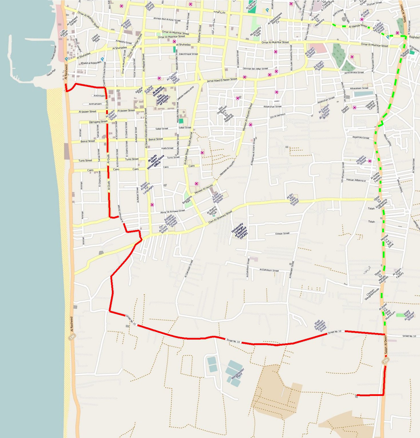 bicycle trip. red: on the way to Zeitoun, green: the way back 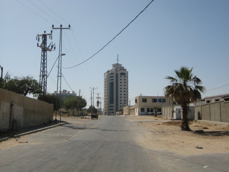 I
started out shortly before 9:00. It was a cool sunny day. I rode a
short stretch along the coastal road, which then was closed for a long
stretch due to construction work. Therefore I turned off and rode to
the next larger parallel street. On the way there the street climbed
somewhat and in the background there was a large building visible, as
one can see on the OpenStreetMap, the Mushtaha Tower. In Gaza this type
of building may have its very own history. In the Mushtaha Tower there
is a bank where in 2011 a group of policemen withdrew a large amount of
money using a bad check and some insistent
force. I
started out shortly before 9:00. It was a cool sunny day. I rode a
short stretch along the coastal road, which then was closed for a long
stretch due to construction work. Therefore I turned off and rode to
the next larger parallel street. On the way there the street climbed
somewhat and in the background there was a large building visible, as
one can see on the OpenStreetMap, the Mushtaha Tower. In Gaza this type
of building may have its very own history. In the Mushtaha Tower there
is a bank where in 2011 a group of policemen withdrew a large amount of
money using a bad check and some insistent
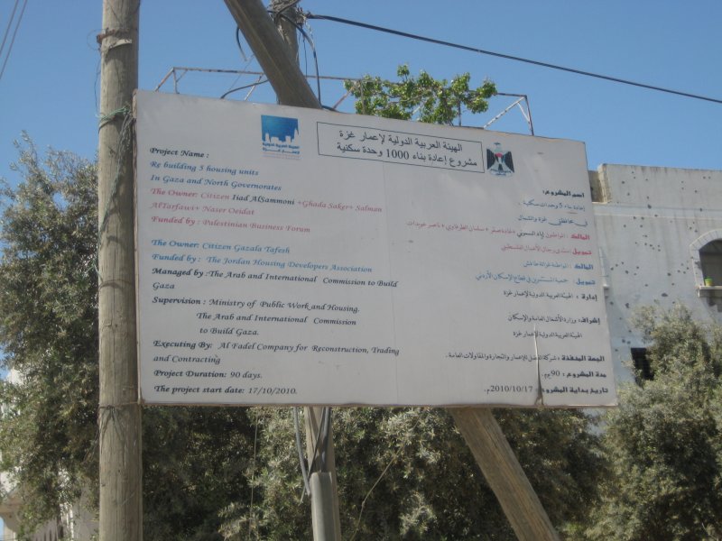
force.In the parallel street, Al Quds, I noticed a construction sign for an Arab Orthodox Cultural Center, apparently a church facility. Judging by the size of the interior hall, there must be quite a few church members. According to my information, there are still 1500 Christians altogether in Gaza. 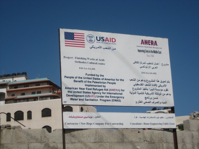
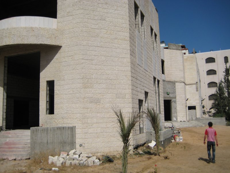
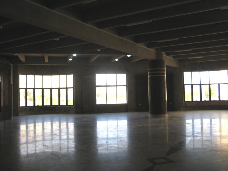 Arab Orthodox Cultural Center With a few twists and
turns I reached Route 10, mostly only a sand road, on which I had to
push my bike when it went uphill.
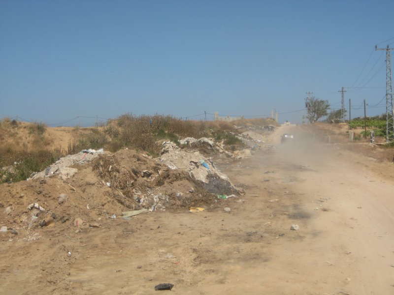
Along this street there was serious destruction from the Israeli attack three years ago apparently only in the area shortly before the intersection with the main street (Salah Al Deen). Along a stretch of the street a large garbage dump had developed, but it had been partially cleared away. 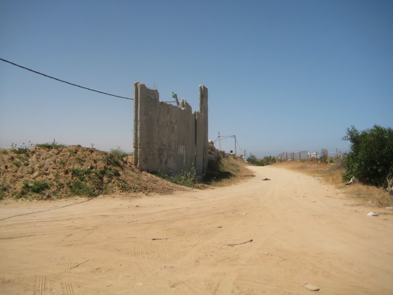
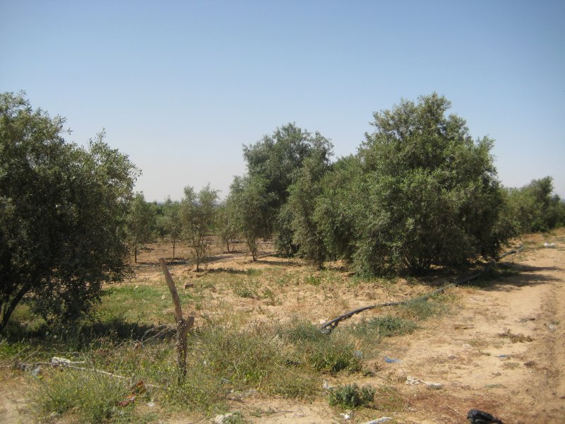
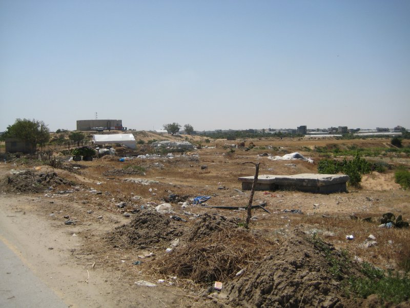
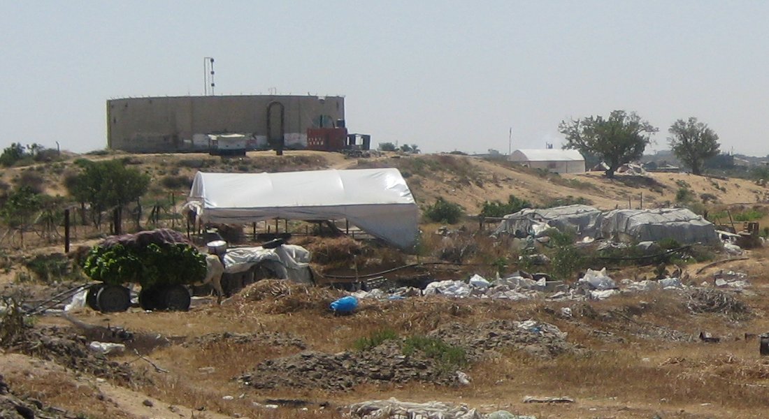
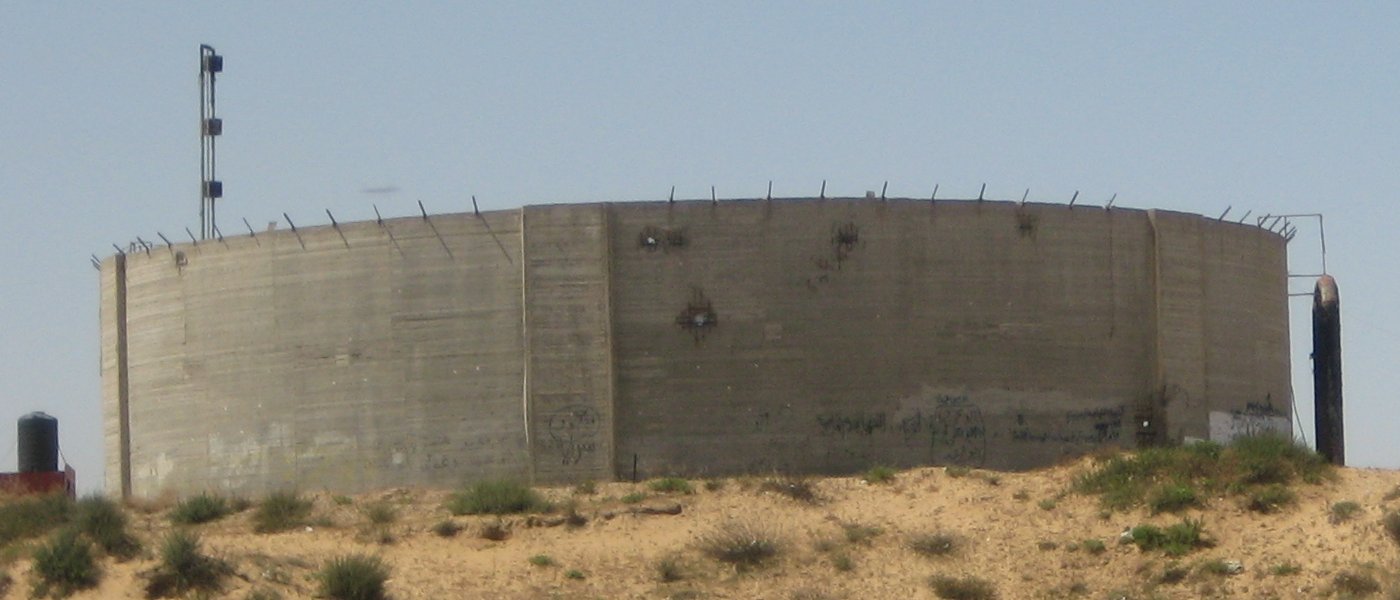
 A round building
became visible on a hill on the last third of this
stretch, a water tank with some non- functional holes in the wall. In
front of it were tents that probably were used for housing. Apparently
in this area there were no permanent houses destroyed. The water tank
was at some time no longer used because of too little height.
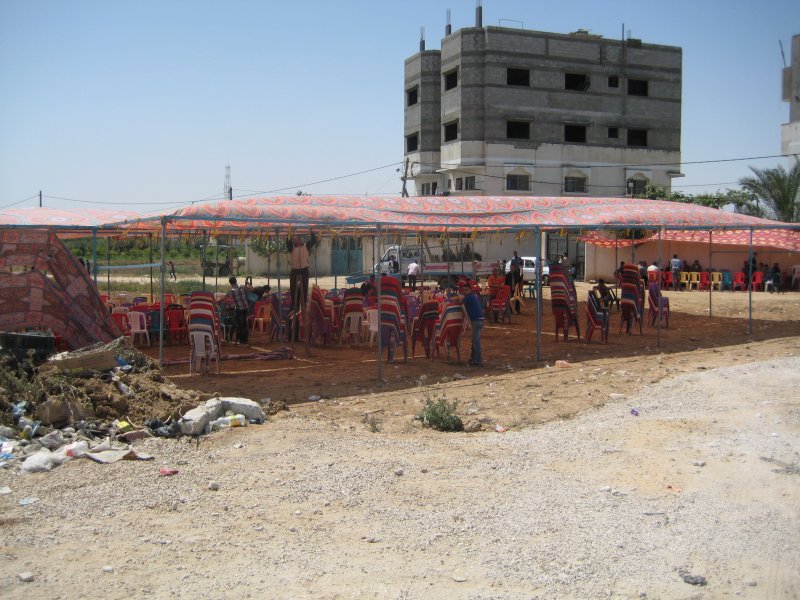
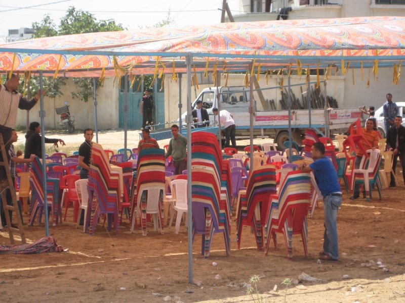
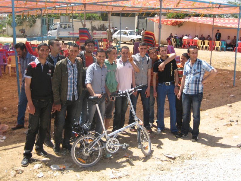
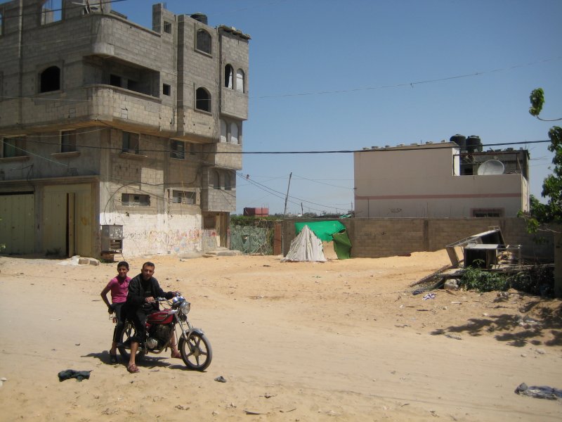
 As I came closer to
the built-up
area near Salah Al Deen Street a big tent could not be missed, in which
a large quantity of chairs were set up. It was for the preparation for
a wedding celebration which would take place in a few hours. I was
invited to stay, but I decided to take a few souvenir pictures and
continue on my way.
 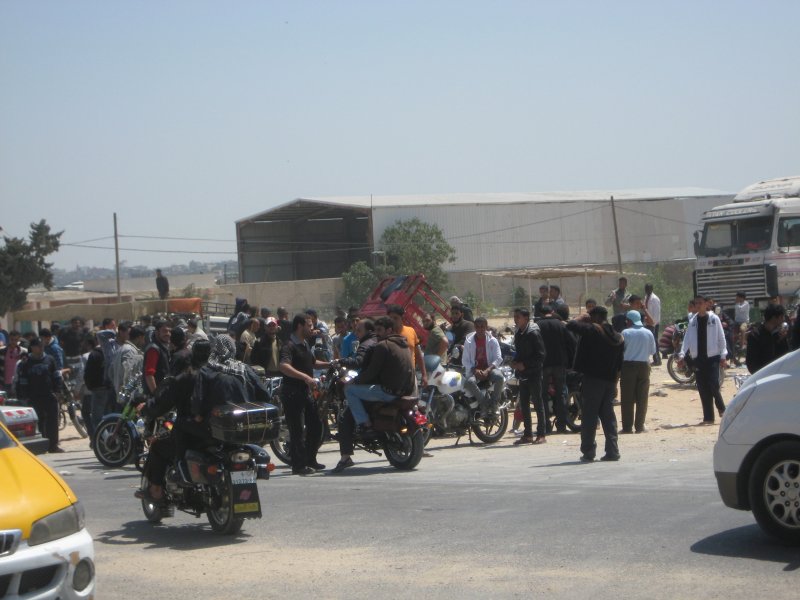 The
main street was not far away. At the intersection the traffic was
closed to a large extent by a large collection of motorcycle riders.
For me it was a familiar sight. In Berlin before the wall came down
there was only one direct straight stretch of motorway on which one
could ride somewhat faster. Large throngs of motorcylclists with much
heavier bikes met there at the south end on the weekends, to thunder
down the motorway. The
main street was not far away. At the intersection the traffic was
closed to a large extent by a large collection of motorcycle riders.
For me it was a familiar sight. In Berlin before the wall came down
there was only one direct straight stretch of motorway on which one
could ride somewhat faster. Large throngs of motorcylclists with much
heavier bikes met there at the south end on the weekends, to thunder
down the motorway.I wanted to go to the area of the quarter called Zeitoun, where we went last year with the Italian group as the first thing, to visit the survivors of the Samouni family (all Vik2Gaza links have been removed). The Samouni family got sad fame through the circumstances under which many family members were killed by the Israelis during the "Cast Lead" operation (Report of the Investigatiive Commission of the United Nations on the Gaza Conflict, Paragraph 704) and the strange behavior of the main author of the UN Commission, Judge Goldstone, who, without any new findings, later tried to justify this massacre with military necessity (see report from last year). I had only an approximate idea of where these houses were. They were, however, easy to find, because of the yellow ochre painted kindergarden house. At the entrance to the so-called Samouni Street, so named by the UN Report, there was a construction sign for three rebuilt houses. The street was rather empty. It was just the time of the noonday prayers. I threw a brief glance into the mosque which had already been restored last year, spoke briefly to the Imam, took a few pictures and started on the way home. 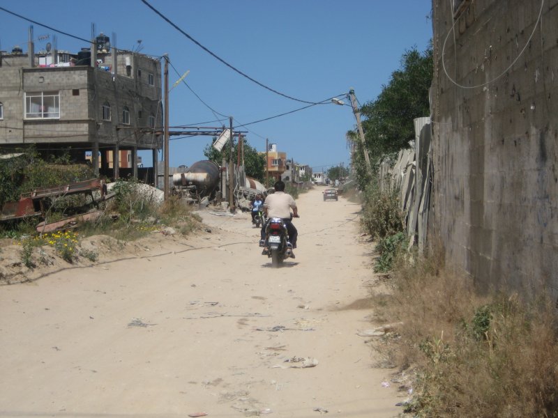
 At this point it seems to me that a few words about satellite images are appropriate. Google apparently has a special relationship with Israel. This can be recognized because in the beginning Israel was a white space on Google Maps. As far as Gaza is concerned, the Google satellite images remained for many years at the stage of 2007, that is, as it had been before the Israeli attack. For my trip in 2010, before I knew about OpenStreetMaps, I had copied these satellite pictures painstakingly from the PC screen, though not in very good resolution. Since 2011 Google has been bringing the Gaza images up to date. In these photos a great part of the damage can no longer be recognized, because the farming areas plowed up by the tanks and bulldozers are mostly being farmed again, the ruins cleared away and the houses partially rebuilt in spite of the blockade. Nevertheless, it is still interesting to take a look at the old photos and to compare them with the newer ones. The picture below shows the area around Samouni Street as it was in 2007. One sees that it is a small isolated settlement, whose military value was and is probably an Israeli secret. Apparently there were never battles there, that is, there was never a defender seen. The UNOSAT department of the UN followed the Israeli attack with the available satellite photos and evaluated and published these according to the destruction caused. |
 Satellite
image from 2007
|
|
In the following
picture I have put together images of this area, turned by 90°,
from the years 2007, 2009 and 2011.
The image from 2009 came from a UN report. The destroyed buildings are marked with a red rhombus. The difference from the image from 2007 is very visible. Although the black and white UN image has a rather low resolution, one can imagine that also from the green areas not much was left. In 2011 some of the chicken coops were rebuilt, but not yet all of them. 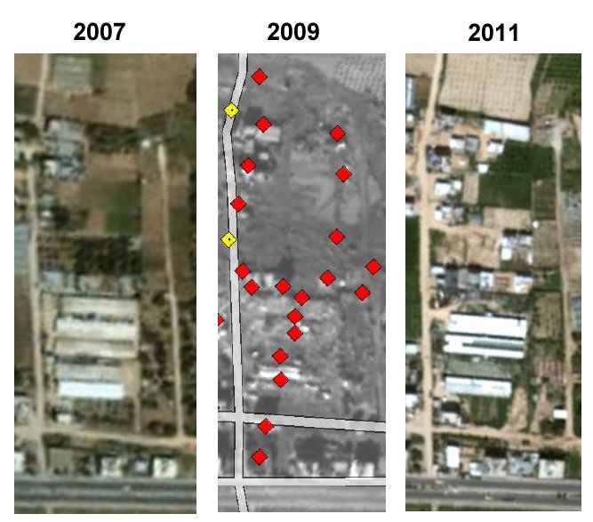 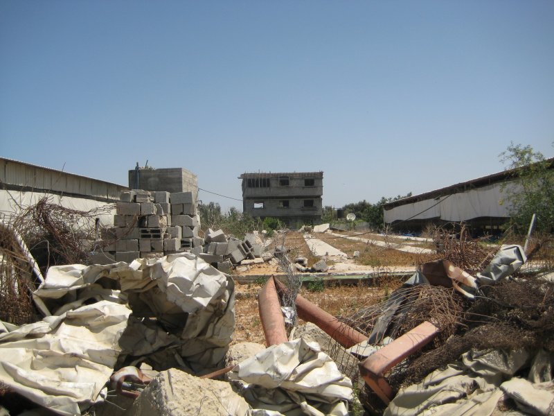 Foundations of a destroyed chicken coop between reconstructed coops I rode back to Gaza
City on the
lightly travelled Salah Al Deen Street. In the city there were some
shops and markets open in spite of its being a weekend. I wanted to buy
three small bananas in one of the markets on a small square along the road. The seller made me a present of
them. Invigorated, I rode further to the three-cornered terraced Al
Sheja'ea Park, where I turned into Al Wehda Street toward center city.
This street, especially in the beginning, is rather hilly. As it went
downhill, I was rather surprised as an unusually young bike rider passed me
at a high speed. By the time I had pulled out my camera he was already quite a distance away.
  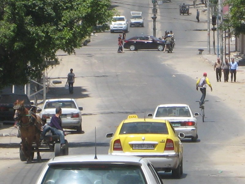 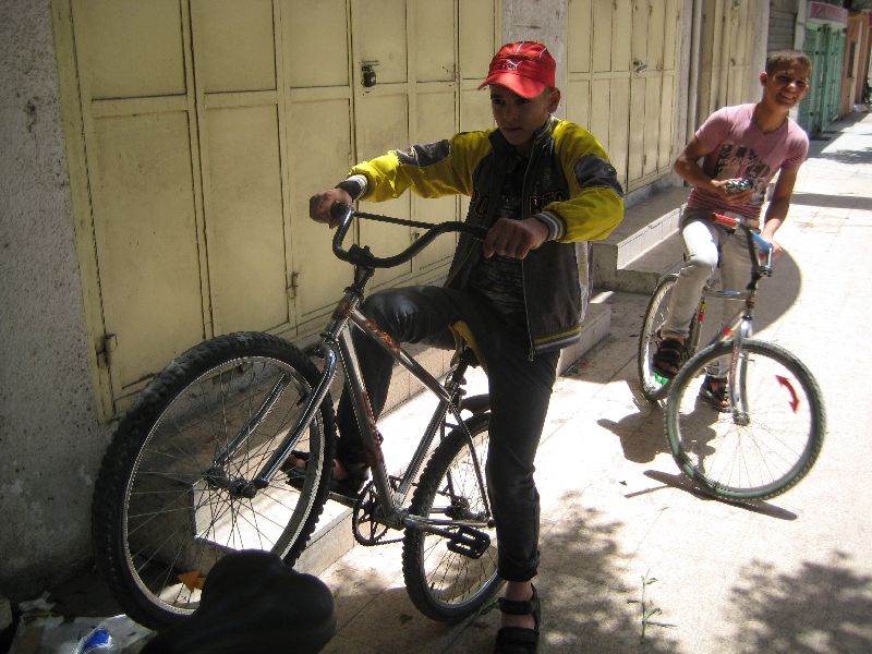 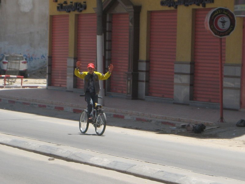   One can see on the
photo though,
that he stood with one foot on the handlebars and one on the seat. He
introduced himself to me and gave me a special show riding backwards,
which ended rather abruptly, because he nearly collided with a car
coming from the side. Stopping was rather difficult, because the bike
had no brakes.
A little further along, there was a large space which looked like a garbage dump, and to a certain extent it was: a plastic recycling plant. I didn't notice that it was immediately next to a football stadium (Yarmouk). |